Table of Contents
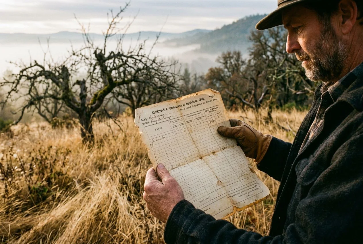
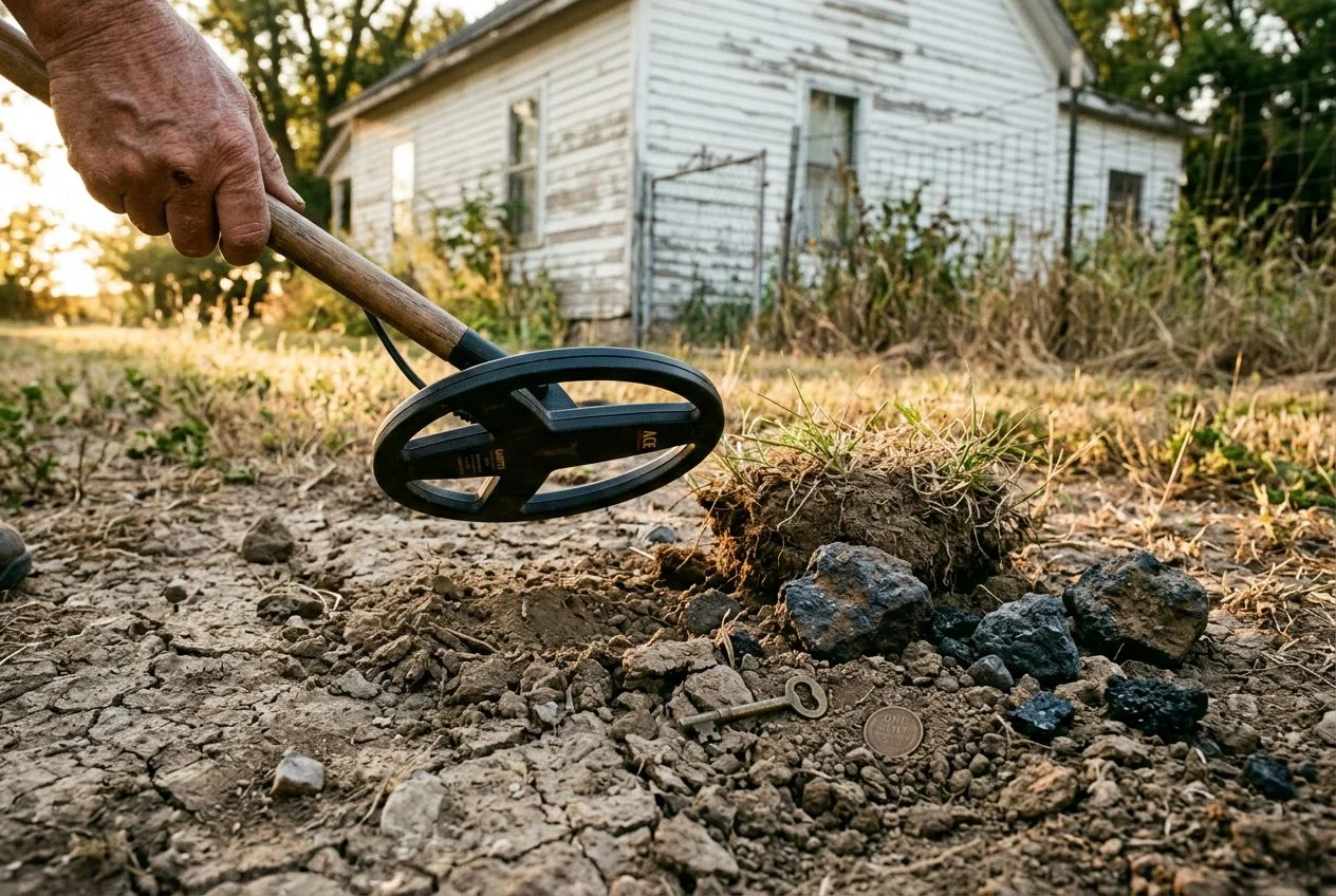
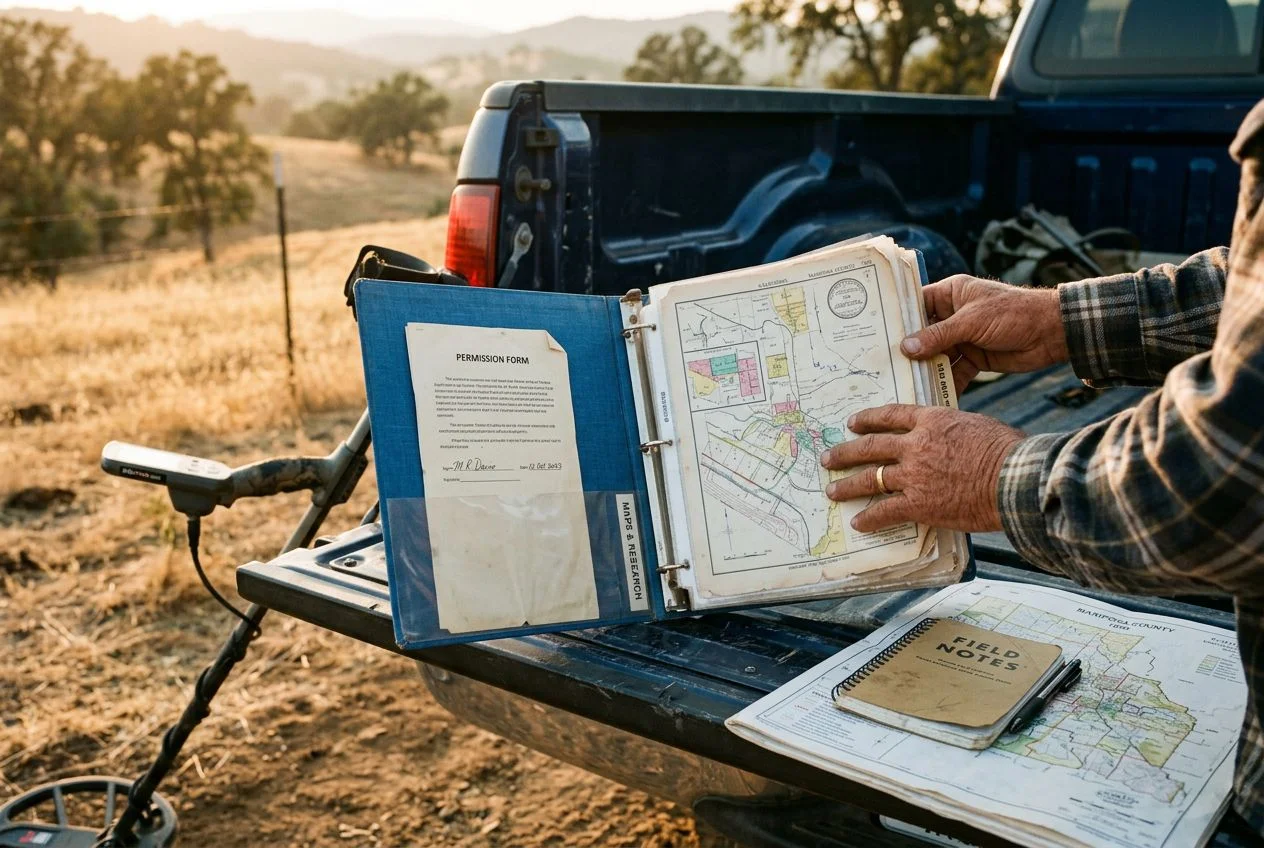
My buddy Tom called me last week, excited about a new spot he’d found — an old fairgrounds that operated from the 1920s through the 1950s outside of Sacramento. He’d spent three days driving around, knocking on doors, and digging through county records to track down the property owner. Classic Tom.
I’ve been metal detecting for more than 15 years now, and the single biggest lesson I’ve learned is that research beats equipment every time. But lately, I’ve realized that drones are changing treasure hunting in ways I never imagined. You can swing a $5,000 detector at a random park and find pull-tabs all day. Or you can swing a $200 detector at a carefully researched site and walk away with a handful of silver coins.
I congratulated him, but part of me was already thinking about what I’d do differently. Tom’s a great detectorist, but he hunts the old way: boots on the ground, talking to people, grinding through archives. Don’t get me wrong — that still works. However, over the last couple of years, I’ve started adding a tool to my research arsenal that changes everything: drones.
And I don’t just mean aerial photography. Changing treasure hunting with drones means using sensors that see beneath the surface.
Can Drones Change Treasure Hunting? The Changing Treasure Revolution
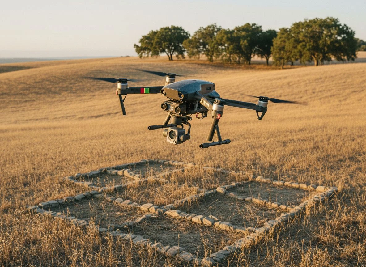
Let’s back up. I’ve been metal detecting for more than 15 years now. The single biggest lesson I’ve learned is that research beats equipment every time. But drones are changing treasure hunting by making research smarter. You can swing a $5,000 detector at a random park and find pull-tabs all day. Or you can swing a $200 detector at a carefully researched site and walk away with a handful of silver coins.
The problem is that research has limits. You can pour over historical maps until your eyes cross. A map from 1890 only tells you what was supposed to be there. It doesn’t tell you about the creek that changed course in 1923, or the barn that was torn down in 1954, or the old swimming hole now buried under six feet of silt.
Drones solve that problem. Equipped with the right sensors, they can see what’s happening beneath the surface. Not with metal detection (though that’s coming too), but with thermal imaging, LiDAR, and multispectral cameras. These reveal soil disturbances, foundations, and even buried structures that you’d never spot from ground level. Changing treasure hunting at this level changes everything.
Modern drones equipped with LiDAR and multispectral imaging can detect buried structures, map entire landscapes, and gather critical data without physically disturbing delicate sites. We’re talking centimeter-level accuracy. You get a thermal heat map of the ground before you ever swing a coil.
The Tech Behind Drone Treasure Hunting
I got to see this firsthand last year. I visited an archaeological dig in Central California. A team was using drone-mounted sensors to map an old Native American settlement site. (Side note: I was there for a detecting club field trip, not a formal invitation — but the lead archaeologist was kind enough to show me around.)
The drone they used carried three different payloads. The first was a standard RGB camera for high-resolution aerial photos. That’s the kind of thing you could stitch into an orthomosaic map. The second was a multispectral sensor that picked up variations in plant health and soil moisture. The third was a thermal camera that could detect temperature differences of less than a degree.
Here’s the part that blew my mind: When they flew the drone over the site, the thermal sensor picked up clear outlines of buried hearths and cooking pits. These had been filled in for over a thousand years. The ground above those features was fractionally warmer at certain times of day. The disturbed soil retained heat differently than the undisturbed soil around it. Changing treasure hunting with thermal imaging is that precise.
I’m probably way more excited about this than any normal person should be. My wife says I collect obscure facts like some people collect stamps. But think about what this means for detecting. You could fly a drone over a fifty-acre farm field and get a thermal map showing exactly where the old homestead foundations are. Where the trash pits were. Where the outhouse sat. All before you ever take your detector out of the car. That’s changing treasure hunting at its core.
Drone Metal Detectors Open New Frontiers
Okay, thermal and multispectral imaging are impressive. But here’s where things get really interesting for detectorists. You can now mount actual metal detection sensors on drones.
The DroneRover from TreasureHunter3D is probably the most practical example I’ve seen so far. It’s a sensor that attaches to any drone capable of carrying about 200 grams. It can detect metallic and non-metallic objects buried up to 100 feet deep. Chests, tunnels, graves, shipwrecks — you name it. You define a survey area on a map, hit go, and the drone flies an autonomous grid pattern. It streams real-time 2D and 3D underground scan results to your smartphone. This is changing treasure hunting from a weekend gridding chore into a high-tech reconnaissance mission.
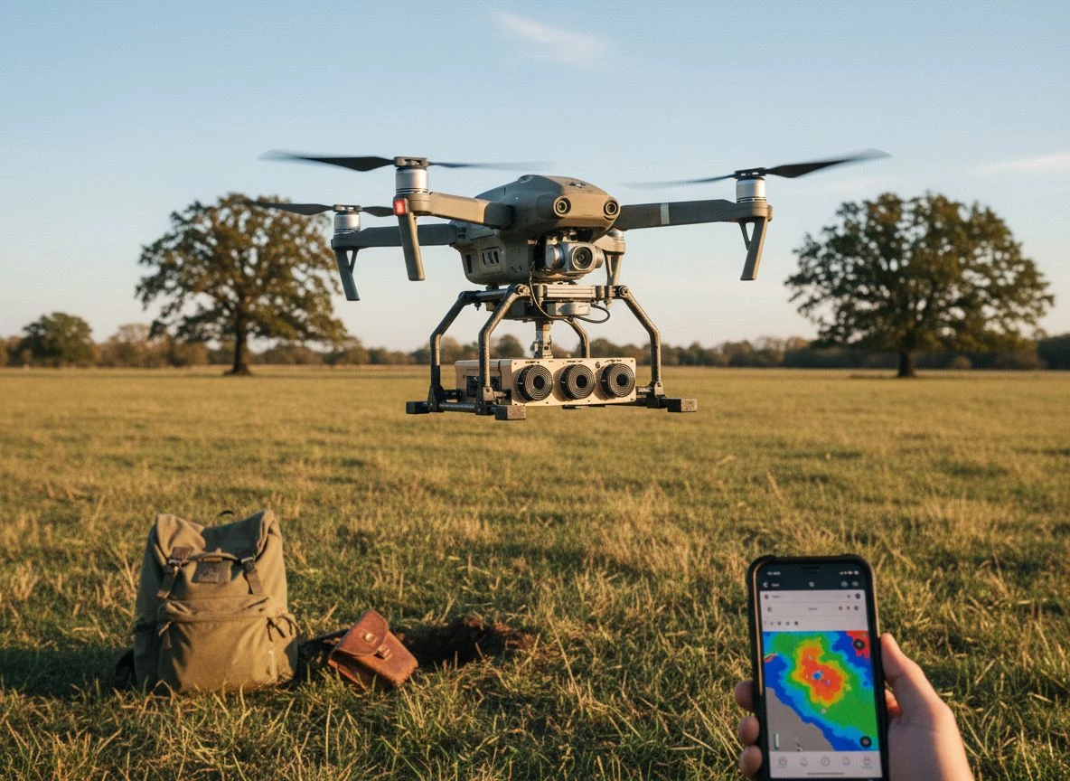
I’ll level with you: this isn’t cheap. Drone metal detection systems can run over 100 times the cost of a handheld detector. Their penetration depth decreases as you fly higher. You’re not going to spot a silver dime at six inches from 50 feet up. But for large-scale reconnaissance, it’s a game-changer. Instead of spending a whole weekend gridding a ten-acre field on foot, you can fly the same area in an hour. You get a map of priority targets.
Underwater Drones Find Sunken Treasure
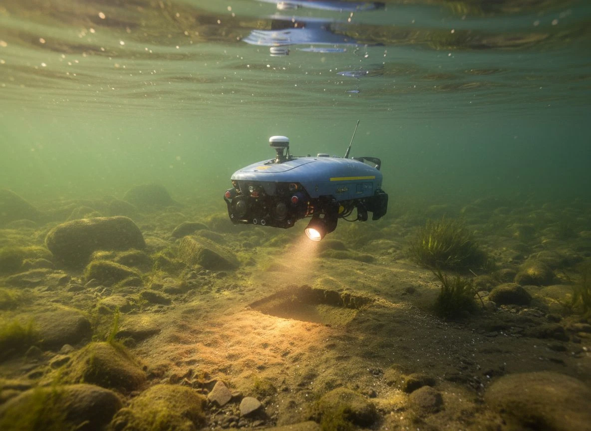
I live in California, not on the coast. Underwater detecting isn’t something I do regularly. But I’ve got a buddy who hunches old river crossings and lake swim spots. He’s been experimenting with underwater drones for years.
The SeaSearcher, developed by Florida startup Seafarer Exploration, is probably the most advanced example I’ve seen. It’s an underwater drone that can descend to 100 meters. It cruises about one meter above the seafloor and detects metal buried up to 33 feet deep in the seabed. Here’s the cool part: unlike traditional cesium vapor magnetometers that can only detect iron, the SeaSearcher uses electromagnetic, RF, and acoustic waves to identify specific metals. Brass, copper, aluminum, silver, gold. It runs machine-learning algorithms to analyze how buried metal objects are “energized” by those waves. It builds a 3D digital map of everything it finds. Changing treasure hunting underwater is now a reality.
In field tests, it successfully identified brass, iron, copper, aluminum, lead, and stainless steel. That’s the kind of discrimination we dream about in handheld detectors. And it’s happening underwater at 100 meters depth.
What Can Drones Do for the Average Detectorist?
I can already hear what you’re thinking: “Paul, this all sounds cool. But I’m not spending ten grand on a drone system to find old coins at my local park.”
Fair enough. That’s not what this is about — at least not yet.
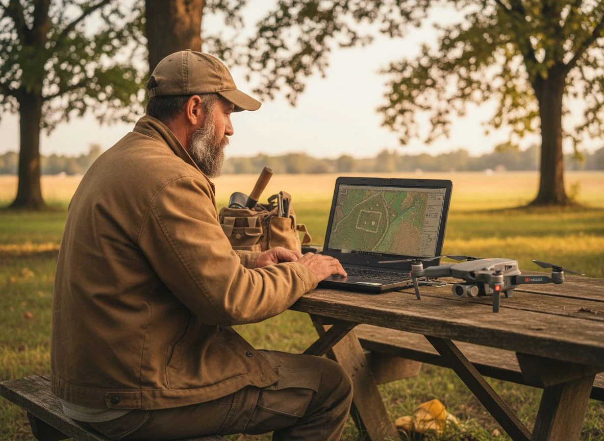
Here’s how I see drones fitting into detecting for people like us. First, the consumer drone market is moving fast. Five years ago, a decent GPS-enabled drone with a good camera cost $1,500. Today you can get one for under $500. The sensors that make drones useful for detecting (thermal, multispectral, LiDAR) are following the same trajectory. Give it another three to five years, and I expect we’ll see affordable drone-based detection systems. These will make sense for serious hobbyists. That’s changing treasure hunting at a price point we can afford.
Second, you don’t need to own a drone to benefit from drone technology. More and more historical societies, archaeological groups, and even county planning departments are using drones to survey land. Some of that data is publicly available. I’ve found LiDAR data for parts of Northern California through the OpenTopography database. I used it to identify old road beds and foundations on public land. No drone required — just a computer and patience. Changing treasure hunting without owning a single drone is possible.
Third, some detecting clubs are starting to pool resources for shared drone equipment. Our club out here is talking about buying a thermal drone that members can sign out like a library book. That’s the kind of thing that makes high-end tech accessible to everyone. It’s changing treasure hunting from a solo investment into a community asset.
Why Human Skill Still Matters with Drones
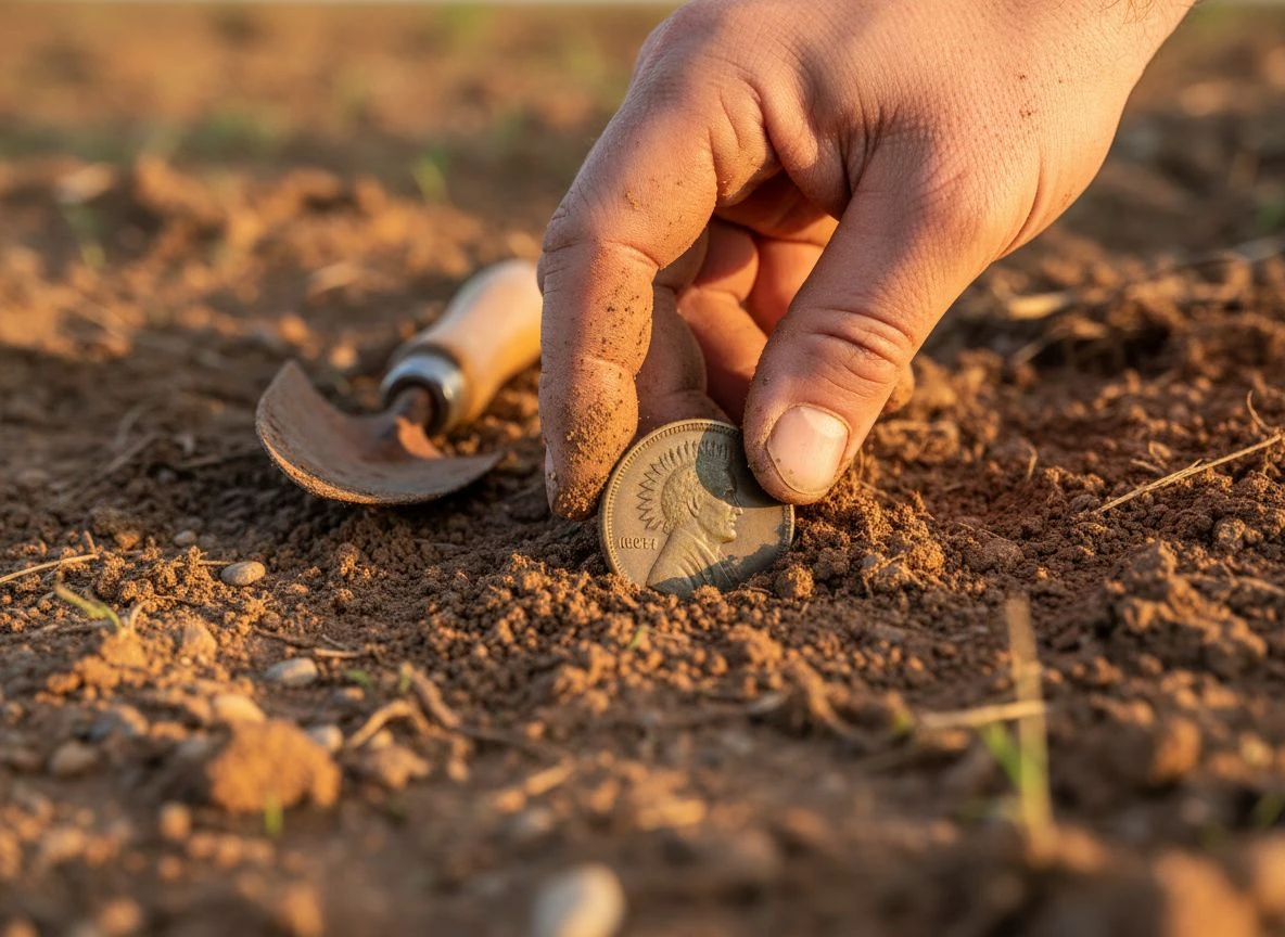
Here’s the thing I keep coming back to: drones are tools, not replacements. They can show you where to look, but they can’t dig your holes. They can map a site, but they can’t tell you the story of the person who dropped that 1882 Indian Head penny. They can detect a buried structure at 100 feet, but they can’t give you the thrill of uncovering it yourself.
In 2016, satellite and drone images led to the discovery of a massive ceremonial platform at Petra that wasn’t visible from the ground. That’s an incredible achievement. But the archaeologists still had to dig. They still had to carefully brush away the dirt. They still had to hold the artifacts in their hands and connect them to the people who made them. That’s what changing treasure hunting should preserve — the human connection.
That’s what metal detecting has always been about for me. Not just finding things, but connecting with the people who lost them. Drones assist, but the heart of changing treasure hunting is still you.
The Future of Drones in Treasure Hunting
I think we’re at the beginning of a major shift in how we approach treasure hunting. The combination of drone-mounted sensors, AI-powered analysis, and traditional detecting techniques is going to open up sites that have been hiding in plain sight for centuries.
A new computational tool developed at the University of Haifa can now identify individual building stones and wall segments from drone imagery using machine learning. It translates visual chaos into detailed site plans within minutes. When tested at nine archaeological sites across Israel, the system identified approximately 350,000 building stones. That’s the kind of data that would take a human researcher months to produce. Changing treasure hunting with AI and drones makes the impossible possible.
I’m not saying drones will replace the thrill of swinging a coil and hearing that sweet, sweet tone. They won’t. But they can make sure that when you do swing your coil, you’re standing on the right spot.
Tom’s still hunting his twenty-acre fairgrounds the old way. And he’ll probably find some good stuff. But next time I get a lead like that, I’m renting a drone for a weekend first. I’ll let you know how it goes. Changing treasure hunting one flight at a time.

My name is Paul and I am the founder of Detector For Metal, a dedicated resource for metal detecting enthusiasts seeking to uncover historical treasures and connect with the past using the latest technology. As a stay-at-home dad and family man, I’ve found metal detecting to be the perfect hobby that combines family adventure with historical learnings for the whole family.
As a father, I’m deeply committed to passing on this hobby to the next generation of detectorists, starting with my own children. I share advice on everything from metal detecting with kids to exploring the top 10 metal detecting sites you never thought about. My methodical approach to the hobby goes beyond the thrill of discovery—it’s about creating family traditions while preserving history and sharing the stories of those who came before us.