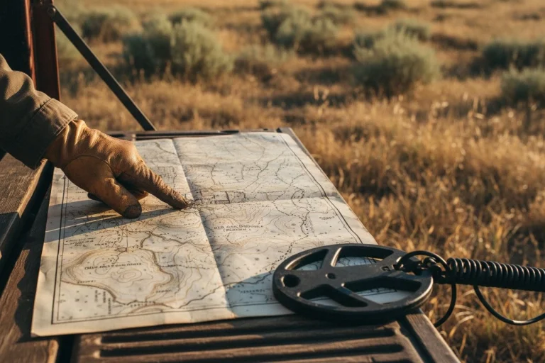
The best detector you’ll ever own isn’t made by Minelab or Garrett. It’s the ability to look at a 1903 topo map and see a schoolhouse that isn’t there anymore. The real weapon isn’t what you swing over the ground—it’s what you know about the ground before you ever swing.

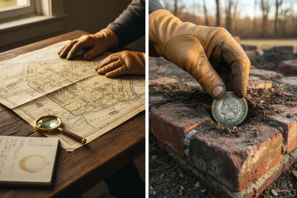
I’ve spent mornings chasing signals from modern trash because I picked a spot at random. And I’ve spent afternoons walking straight to a foundation line because a contour anomaly told me exactly where to dig. The difference is always the map. Always.
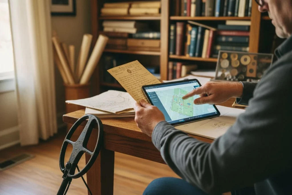
If you’ve read this far, you already have everything you need to start finding those lost structures. The USGS Historical Topo Map Explorer is free. TopoView is free. An afternoon spent comparing a 1908 quadrangle with a modern satellite view costs nothing but time—and that time pays back in silver, relics, and the quiet satisfaction of knowing you out-thought the landscape.


Now go find your own 1892 schoolhouse. Start with one map, one afternoon, and one square mile. You’ll be amazed at what you uncover—and the stories you’ll bring back. If you want a deeper dive into reading contour anomalies, I’ve put together a cheat sheet. Post a comment below, and I’ll send it your way.
Every time I open a topo from 1903, I feel like I’m having a conversation with the person who drew it. That map is a letter from the past—and it’s addressed to anyone patient enough to read it.


My name is Paul and I am the founder of Detector For Metal, a dedicated resource for metal detecting enthusiasts seeking to uncover historical treasures and connect with the past using the latest technology. As a stay-at-home dad and family man, I’ve found metal detecting to be the perfect hobby that combines family adventure with historical learnings for the whole family.
As a father, I’m deeply committed to passing on this hobby to the next generation of detectorists, starting with my own children. I share advice on everything from metal detecting with kids to exploring the top 10 metal detecting sites you never thought about. My methodical approach to the hobby goes beyond the thrill of discovery—it’s about creating family traditions while preserving history and sharing the stories of those who came before us.