Table of contents
- Why the Agricultural Census Is the Most Underrated Treasure Map in America
- How Do You Read an Agricultural Schedule for Detecting?
- Matching Census Data with Land Records
- What the Lost Apple Project Teaches Detectorists
- What Census Numbers Reveal About Orchard Decline
- Indigenous Agricultural Records and the Trail of Tears
- What to Do When You Find a Forgotten Orchard
- Agricultural Census Records and Orchard Hunting FAQ
- The Window Is Closing on These Orchard Sites
An 1870 agricultural census schedule is a treasure map hiding in plain sight. It records exactly which homesteads grew fruit, how much it was worth, and where to start looking for the trees they left behind.
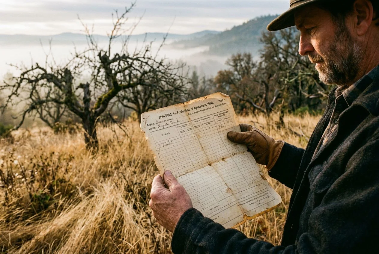
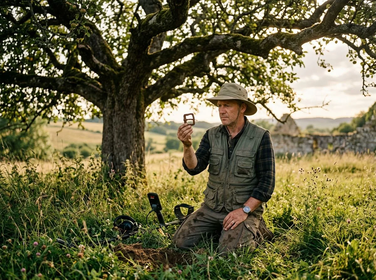
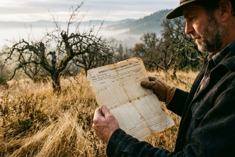
I’m standing in waist-high grass on a Sierra foothills slope. In one hand, I hold a printout of an 1870 agricultural schedule. In the other, my phone. The GPS says I’m standing in the middle of what used to be someone’s orchard. The coordinates match. The grass doesn’t care. There’s no sign of anything — no fence posts, no foundation stones, no gnarled old trees reaching out of the brush. Just me, a map, and the nagging feeling that I’ve driven two hours to stare at weeds.
But here’s what I know. The schedule in my hand lists this exact parcel. In the column marked “value of orchard products,” someone wrote $40. That’s not a typo. In 1870, $40 meant this homestead grew enough fruit to sell — apples, maybe peaches. That meant trees. Someone planted them, tended them, and eventually abandoned them. And abandoned orchards, even ones swallowed by a century of overgrowth, leave traces. You just have to know what you’re looking for.
America once grew roughly 17,000 named apple varieties. Today, only about 4,500 remain. The rest are gone — or hiding. Some are hiding in places exactly like this: forgotten homesteads scattered across the foothills, their orchards gone wild. Their names are lost to everyone except the people who wrote them down in the 1850–1880 Nonpopulation Agricultural Census Schedules.
Those schedules recorded acreage, livestock, crop values — and the dollar value of orchard products for individual homesteads. Genealogists use them to trace ancestors. I use them to find lost trees. Same document, different treasure.
Why the Agricultural Census Is the Most Underrated Treasure Map in America
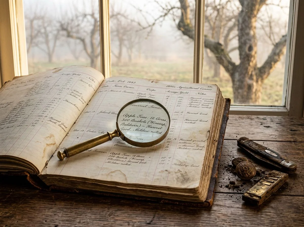
The 1850–1880 agricultural schedules are the only federal records that tell you exactly which homesteads grew fruit, how much it was worth, and where to start walking. They’re the closest thing to a government-issued treasure map the pioneer era ever produced.
Here’s the thing most people miss. The regular census tells you who lived somewhere. The agricultural census tells you what they were doing there. And when you’re hunting for lost orchards, that distinction is everything.
The moment this clicked for me was staring at a column labeled “value of orchard products.” I’d been using the schedules for years to find old homestead sites. I’d cross-reference acreage and livestock counts with land patents to narrow down where a family actually lived. But I’d been skimming past the orchard column like it was background noise.
Then one afternoon, I noticed a $40 entry on an 1870 schedule from Placer County. Not a big number by today’s standards. But in 1870, $40 worth of orchard products meant something specific. This wasn’t a family growing a few apple trees for their own cider. This was someone growing enough fruit to sell. Which meant they’d planted deliberately, tended carefully, and — critically for me — left behind a physical footprint that would persist long after the house collapsed and the family moved on.
That $40 wasn’t a statistic. It was a coordinate. It told me there were trees on that property. Real trees, planted in rows, grafted to specific varieties. Trees that might still be standing — gnarled and overgrown, maybe, but alive. Or at minimum leaving root crowns and soil signatures I could find with the right approach.
The National Archives confirms these agricultural schedules exist for 1850, 1860, 1870, and 1880. They’re the only federal records that explicitly detail orchard product values for individual homesteads during the pioneer era. No other government document gives you that data point. Not land patents. Not tax records. Not the regular population census.
Think about what that means. For four decades of American expansion — the exact window when the West was being settled and orchards were being planted everywhere — the federal government sent enumerators out to write down, farm by farm, how much money each homestead’s fruit was worth. That’s not dry genealogy. That’s a field survey of every commercial orchard in America, recorded before most of them were abandoned and forgotten.
I’m probably way more excited about this than any normal person should be. But when you’re standing in waist-high grass holding a printout, and the schedule says $40, and you look up and see nothing but weeds — that number is the only thing telling you something used to be here. And it’s usually right.
How Do You Read an Agricultural Schedule for Detecting?
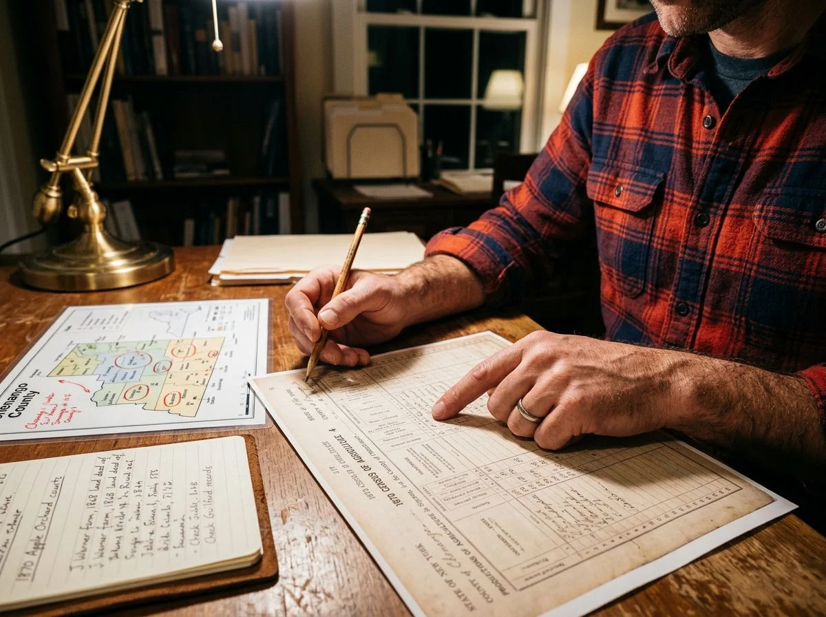
A genealogist reads these schedules to find ancestors. You’re reading them to find terrain. Every column — acreage, livestock, orchard products — is a clue about what was physically on that property, and where you should start walking.
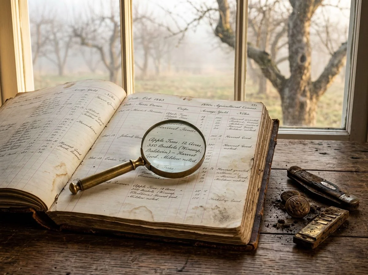
The first time I actually used one of these schedules, I was chasing a Placer County homestead that had been wiped off every modern map. The 1870 schedule listed 300 apple trees and 12 peach trees. Three hundred. That’s not a backyard orchard — that’s a commercial operation. And commercial orchards don’t get planted on flat, easy ground near town. They get planted on slopes with good drainage and southern exposure, usually along a ridge line where frost settles less.
So I stopped looking at the parcel as a dot on a map. I started thinking like the farmer who planted it. Where would I put 300 trees in 1870? The answer narrowed my search to a single ridge line about a mile from the nearest road. Two weekends later, I found the root crowns.
The FamilySearch wiki documents what these schedules actually recorded: acreage, livestock counts, and orchard product values. That’s the raw data. But the detectorist’s trick is converting those numbers into terrain predictions. A homestead with 40 acres and no orchard products was probably subsistence farming — the house could be anywhere on the parcel. A homestead with 300 trees and $40 in orchard product value was doing something specific. And that something left a physical signature you can find.
Here’s how to read each column:
Acreage tells you how much ground you’re dealing with. Cross-reference it with the land patent to get the legal description, then overlay that on a modern topo map. The house site is usually near water, near the original access route, and on ground that drains.
Livestock counts tell you about outbuildings. A homestead with 6 milk cows and 40 sheep needed barns, corrals, and water troughs. All of those leave depressions, foundation stones, and concentrations of iron debris.
Orchard product values are the crown jewel. Any dollar figure above zero means trees. Higher values mean more trees. More trees mean more deliberate planting, which means a more predictable location — slopes, ridge lines, well-drained soil.
The genealogist sees a family. You see a site plan.
Matching Census Data with Land Records
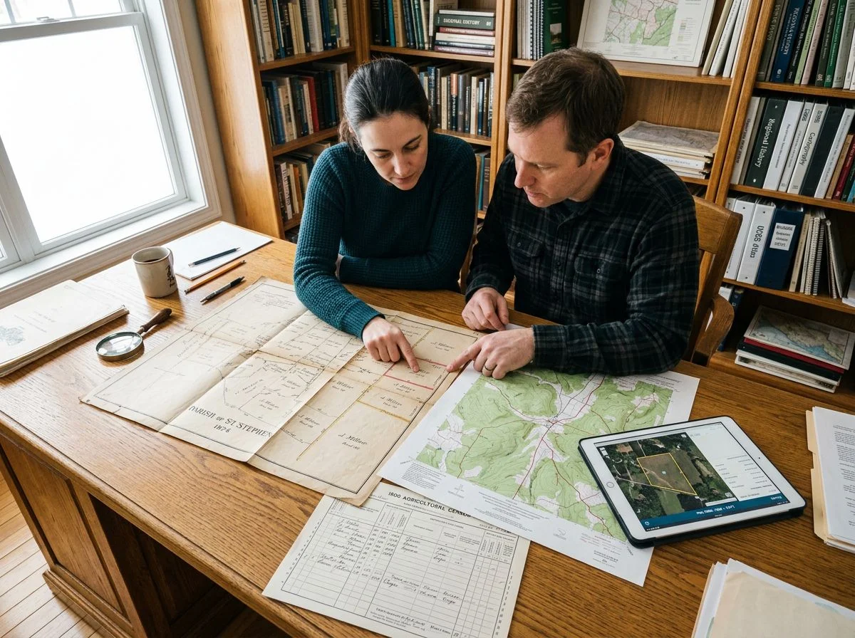
The agricultural schedule tells you what was on the property. Land records tell you exactly where that property sat. Cross-reference the two, and you’ve got GPS coordinates for a lost orchard — no metal detector required yet.
Here’s my process, start to finish.
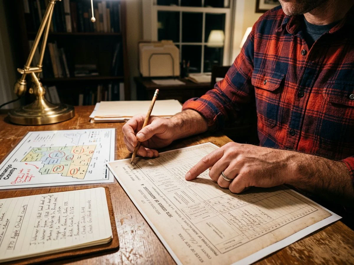
Step 1: Pull the agricultural schedule and note the acreage. Find your target family on the 1870 or 1880 schedule. Write down the “acres of land, improved” and “acres of land, unimproved” columns. Those numbers are your first filter. A homestead with 40 acres and 300 apple trees is a very different search than one with 160 acres and no orchard products. The acreage narrows which parcels you’re even looking for.
Step 2: Cross-reference with Homestead Records. This is where it gets legal. Homestead patents — the actual documents transferring land from the federal government to an individual — contain the full legal description: township, range, section, and quarter-section. The Bureau of Land Management’s General Land Office records are searchable online, and FamilySearch has indexed many of them. Match the name and approximate acreage from your census schedule to the patent, and you’ve got the exact legal description of the property.
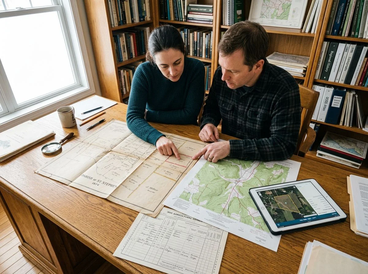
Step 3: Overlay that legal description on a modern topo map. Township and range coordinates translate directly to USGS quad maps. I use a combination of historical topo overlays and modern satellite imagery. The old topos show structures and orchards that have since vanished. The satellite shows current conditions. The quarter-section tells you which 160-acre block to focus on. The acreage from the census tells you roughly how much of it was actually under cultivation.
Step 4: Verify on the ground with botanical evidence. Once you’re standing on the parcel, the trees themselves confirm what the paperwork suggested. The Montana State University guide recommends examining tree form, graft lines, and canopy shape to date surviving trees. A row of trees with identical graft unions at the same height? That’s deliberate planting, not random seedlings. An “open vase” canopy? Popular pruning style in the late 19th century. These botanical clues are the physical proof that your paper trail led somewhere real.
The first time I ran this full process, I found a homestead in Placer County where the 1870 schedule listed 40 improved acres and $40 in orchard products. The land patent gave me the southwest quarter of Section 18. The topo map showed a spring I hadn’t noticed before. And the trees — gnarled, overgrown, but still standing in a row — were right where the paperwork said they’d be.
What the Lost Apple Project Teaches Detectorists
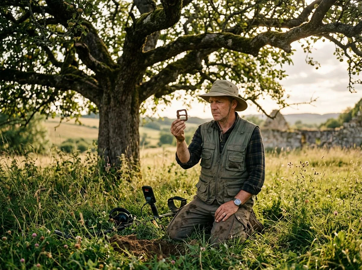
Tom Brown of Apple Search has discovered more than 1,000 unique apple varieties, with an actual original tree located in every single case. That’s proof these trees survive in forgotten corners, waiting for someone to go looking.
Here’s the thing that blows my mind: Tom Brown didn’t start with a degree in pomology or a research grant. He started in 1999, in Clemmons, North Carolina, with a growing sense that something was disappearing faster than anyone realized. Old farmsteads were being bulldozed. The gnarled apple trees beside them — trees that had fed families for a century — were vanishing too. So he started knocking on doors, asking old-timers if they remembered any unusual apples from their childhood. The Apple Search project grew from there.
What Brown proved is that the trees are still out there. Every single one of his 1,000-plus discoveries came with an actual original tree, still standing, still producing fruit. Not a record in a ledger. Not a mention in an old newspaper. A living tree.
The Lost Apple Project, founded by E.J. Brandt and David Benscoter, took that same approach to the Pacific Northwest. Their first breakthrough came when Benscoter found the Nero apple at Steptoe Butte — the very first old variety the project rediscovered. Since then, they’ve located 29 varieties thought extinct. They work from old county fair records, newspaper clippings, and nursery sales ledgers.
The lesson for anyone reading this: the research method works. Whether it’s an agricultural census schedule from 1870 or a county fair ribbon from 1912, the paper trail leads to physical trees. And those trees lead to homestead sites.
What Census Numbers Reveal About Orchard Decline
The agricultural census doesn’t just record what was — it documents what we’ve lost. The numbers show orchard collapse happening everywhere, not just in famous apple regions. And that matters because every vanished orchard marks a homestead site still waiting to be found.
The North Haven Historical Society paints the picture in stark terms. The 1860 Agricultural Census recorded 80 active farms on that small Maine island. Today, only gnarled apple trees along old stone walls mark those homesteads. Eighty farms. That’s eighty families, eighty orchards, eighty places where people planted, harvested, and lived — now reduced to weathered bark and field edges.
But here’s what gets me: those trees are still there. Not all of them, but enough. And the census tells you exactly where to start looking.
The decline isn’t ancient history, either. Montezuma County, Colorado had 699 orchards in 1925. By 2012, that number had collapsed to just 66. That’s a 90% loss in under a century — within living memory of some of the old-timers I’ve talked to. The Gold Medal Orchard restoration proved how much is still out there. MORP processed 800 bushels of apples from forgotten orchards in a single event, generating 2,200 gallons of juice. Eight hundred bushels, just sitting there on trees nobody was tending.
For detectorists, this is the point. Orchard decline means homestead abandonment. Homestead abandonment means undisturbed ground. And the agricultural census is the paper trail that connects the two — if you know how to read it.
Indigenous Agricultural Records and the Trail of Tears
The Cherokee developed what’s credited as the first Indigenous agricultural census. It recorded who planted what, where the plants originated, and under what conditions. That record-keeping tradition makes what happened next even harder to stomach: more than 16,000 Cherokee people were forcibly removed from their ancestral lands along the Trail of Tears. Agricultural knowledge and orchard genetics were casualties of that displacement.
Think about what that census represented. It wasn’t just bureaucratic record-keeping. It was a deliberate system for preserving generational knowledge about what grew where, what thrived in which soil, which varieties held up through drought. The Cherokee weren’t just planting apples. They were documenting the relationship between people, land, and fruit across generations.
Then 1838 happened. The U.S. government rounded up more than 16,000 Cherokee from North Carolina, South Carolina, Tennessee, Georgia, and Alabama and marched them west. They didn’t just displace people. They severed the connection between a community and its agricultural memory. Orchards were abandoned. Grafted trees died untended. Knowledge that lived in the census records and in the hands of the people who kept them scattered or vanished entirely.
That’s why the Nikwasi Initiative’s restoration work matters so much. Established in 2016, the initiative is grafting heirloom apple trees back to a historic chief’s orchard. They’re using varieties preserved at the Southern Heritage Apple Orchard at Horne Creek Farm — an 850-tree orchard maintaining over 425 varieties of old southern apples. The newly grafted trees go in along the Barbra McRae Cherokee Heritage Apple Trail near the Little Tennessee River in Franklin, North Carolina.
For detectorists, there’s a lesson here that goes beyond apples. Displacement leaves physical traces. Abandoned orchards, homestead foundations, old roadbeds — they’re all still in the ground, waiting. The paper trail tells you where to look, but the ground remembers what the records sometimes can’t.
What to Do When You Find a Forgotten Orchard
You’ve found the trees. Now what? Documentation matters more than digging. A forgotten orchard is both a detectorist’s honey hole and a living historical record. Here’s my field checklist for every orchard I locate, in order.
1. Photograph the tree form before anything else. Stand back and capture the full silhouette — the branching pattern, the canopy shape, the overall height. Old orchard trees have distinctive profiles you won’t see in wild seedlings. The Montana State University guide calls this the single most important dating clue. “Open vase” pruning styles from the late 1800s look nothing like modern dwarf or spindle-trained trees.
2. Note the graft lines. Get close to the trunk, about six inches above ground level. A visible bulge or change in bark texture means someone deliberately grafted that tree. That’s the difference between a planted orchard and random seedlings. Grafted trees mean intentional cultivation. Intentional cultivation means a homestead nearby.
3. Collect leaf and fruit samples for identification. Three leaves and one fruit per tree, bagged separately with the tree’s GPS coordinates written on the bag. The Montezuma Orchard Restoration Project has a documentation protocol worth following. They’ve been doing this for years, and their methods hold up in the field.
4. Record GPS coordinates for every surviving tree. Not just the orchard center — every individual tree. When you come back in winter to detect, the leaves will be gone and the layout won’t be obvious. Your coordinate map is what separates a productive hunt from wandering through brush.
5. Contact a local heritage orchard organization. This is the step most detectorists skip, and it’s the one that matters most. MORP’s work in Montezuma County shows why. They processed 800 bushels of apples from forgotten orchards in a single event. The USDA awarded them a $42,400 planning grant to study mobile pressing units for salvaging fruit from abandoned sites. The organization you contact may know the orchard’s history, the varieties planted, and — critically for you — whether anyone else has detected there.
Document first, detect second. The trees will still be there next weekend. The historical record you create might be the only thing that survives another decade.
Agricultural Census Records and Orchard Hunting FAQ
The 1850–1880 Nonpopulation Agricultural Schedules are the only federal records that tell you exactly what a specific homestead was growing — and how much it was worth. That’s your treasure map. Here are the questions I get asked most.
“Where do I even find these schedules?” Start with FamilySearch, which has digitized a surprising number of them. It also offers solid search strategies for tracking down the rest. The National Archives holds the originals on microfilm. Your local historical society or state archives may also have county-level copies. I’ve pulled schedules for Placer County from a regional archive that didn’t exist in any online index — so don’t skip the in-person option.
“What if my county’s records are missing?” It happens. Fire, flood, and careless storage destroyed plenty of schedules. But you’ve got workarounds. Check neighboring counties — homestead boundaries shifted. Look for state-level agricultural reports from the same era. Cross-reference land patents and tax rolls. The Montana State University guide recommends layering multiple record types, because no single source tells the whole story.
“How do I know if an old apple tree is actually a lost variety?” You don’t — not from the tree alone. Graft lines, canopy shape, and fruit characteristics narrow it down. But identification requires comparison against known varieties. Organizations like the Lost Apple Project and Apple Search document heirloom varieties and can help confirm what you’ve found. Collect leaf and fruit samples, photograph the tree from multiple angles, and reach out.
“The schedules stopped after 1880 — what then?” Right. The National Archives confirms agricultural schedules were discontinued after 1880. For later homesteads, pivot to state agricultural reports, county fair records, and nursery sales ledgers. Those are the same sources the Lost Apple Project uses to track down forgotten varieties. The records change; the method doesn’t.
The Window Is Closing on These Orchard Sites
The census records didn’t just tell me where to look. They told me why it mattered. That Sierra foothills field wasn’t just a detecting spot. It was somebody’s livelihood, somebody’s winter food supply, somebody’s attempt to put down roots in hard ground. And those trees, or what’s left of them, are still out there waiting.
Here’s the part that keeps me up at night. The Lost Apple Project has rediscovered 29 varieties since 2014. Twenty-nine. Meanwhile, Apple Search has found over 1,000. Those numbers sound impressive until you remember there were once 17,000 named varieties in this country. Most of what’s left is one bulldozer, one development project, one forgotten fence line away from disappearing forever.
The window is closing fast. Historic trees get cut down every year because nobody knows what they are. The older generation — the people who remember the names, the flavors, the stories — is passing away. When they go, that knowledge goes with them.
So here’s what I’m saying: pull the records. Find the coordinates. Walk the ground. Photograph the trees. Contact a heritage orchard organization. Do it this season, not someday. Because someday, that orchard won’t be there anymore.
And when you find one — when you’re standing in waist-high grass holding a grafted branch that hasn’t been touched in 80 years — you’ll understand. You’re not just detecting. You’re saving something.

My name is Paul and I am the founder of Detector For Metal, a dedicated resource for metal detecting enthusiasts seeking to uncover historical treasures and connect with the past using the latest technology. As a stay-at-home dad and family man, I’ve found metal detecting to be the perfect hobby that combines family adventure with historical learnings for the whole family.
As a father, I’m deeply committed to passing on this hobby to the next generation of detectorists, starting with my own children. I share advice on everything from metal detecting with kids to exploring the top 10 metal detecting sites you never thought about. My methodical approach to the hobby goes beyond the thrill of discovery—it’s about creating family traditions while preserving history and sharing the stories of those who came before us.