Table of contents
- Why Old Schoolhouses Are Overlooked Detecting Spots
- How the Two-Mile Rule Helps Locate Old Schoolhouse Sites
- County Plat Maps Are Your Best Research Tool
- Tracing Deeds to Locate Old Schoolhouse Sites
- Field Clues That Reveal a Converted Schoolhouse
- School Censuses Show Who Actually Attended
- Where the Records Actually Live
- Verifying Sites With the National Register
- Why Schoolhouse Sites Produce Better Finds
- Permission and Ethics at Schoolhouse Sites
- Frequently Asked Questions About Schoolhouse Research
- A Weekend Plan for Your First Research Project
County school records are the paper trail that tells you exactly where a schoolhouse stood, who deeded the land, and when it closed. Most detectorists never touch them. Plat maps show you the lot. Deeds show you the boundaries. School censuses and registers tell you the building actually operated there, not just that someone planned it.
The process starts with old plat maps. Farmers routinely deeded small lots — usually one or two acres — to township trustees specifically for schoolhouses. Ted Shideler has documented 232 one-room schoolhouses across East Central Indiana. He recommends comparing at least two historical maps against each other. He demonstrated this with the 1887 Griffing, Gordon & Co. Hancock County Atlas and the Scarborough Company’s 1908 map. He cross-referenced both against modern county GIS parcel data to confirm a former Sugar Creek Township District 8 schoolhouse at a specific New Palestine address.
Here’s the thing about assessor databases — they’ll lie to you. Old construction dates often default to 1900. That’s useless when you’re trying to verify an 1850s school. That’s when you head to the deed records at the county courthouse and trace the title backward from the current owner. The Library of Congress recommends this as the foundational step for any building history.
School censuses are the underrated tool here. They tracked school-age children by district. Pairing those records with land records pins down exactly which families sent kids to which building. When a small school closed, its administrative records often ended up at the local historical society. The Indiana Historical Society alone holds over 100 photographs and seven maps marking schoolhouse locations across eight counties. That’s the kind of resource that turns a “probably around here somewhere” into a precise swing area.
Why Old Schoolhouses Are Overlooked Detecting Spots
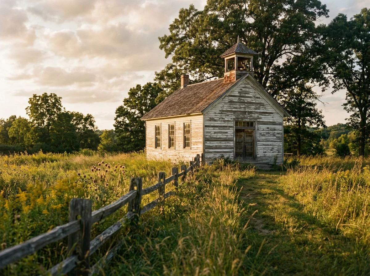
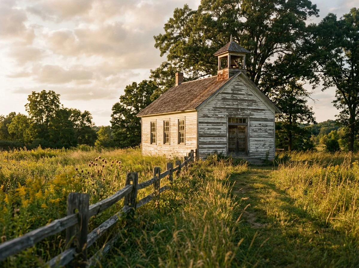
Schoolhouses are the most overlooked detecting sites in America. Here’s why: they concentrate decades of daily human activity into a tiny, precisely locatable footprint. And almost nobody bothers to find them. A one-room school wasn’t just a building. It was the social center of a rural community for fifty or sixty years. Kids played there every single day. Parents gathered for meetings, elections, and socials. Coins fell out of pockets constantly. And the whole operation happened in a space smaller than a modern two-car garage.
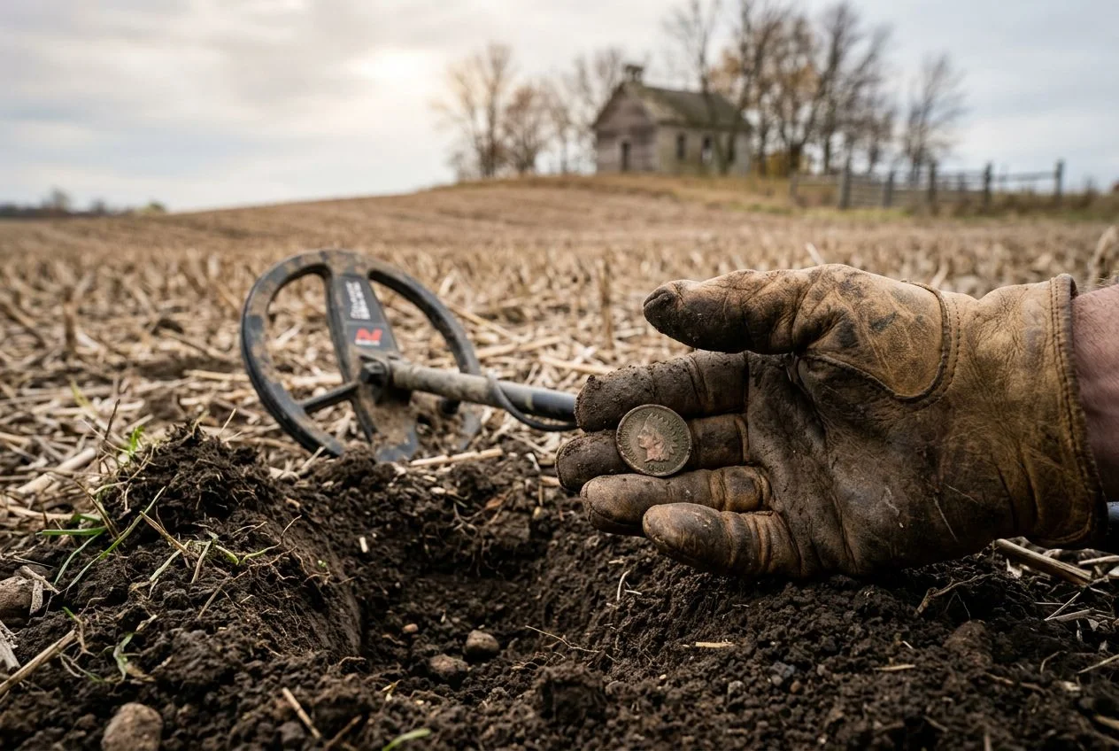
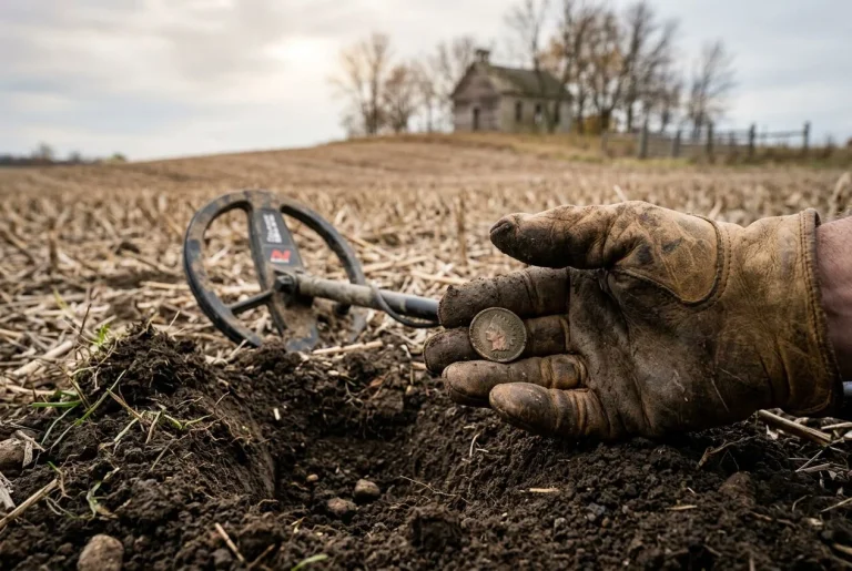
I stood in a soybean field last fall where a schoolhouse had stood in 1887. No foundation, no marker, nothing but rows of beans and a slight rise in the ground. My Equinox 900 hit a solid signal about six inches down, right at the edge of where the schoolyard would have been. Out came an 1875 Indian Head penny. Some kid dropped it during recess, probably while running around with a stick or trading it for a marble. That penny sat in the same dirt for 140 years, waiting for someone to figure out that a schoolhouse belonged there.
Here’s what makes schoolhouses different from every other detecting site: the density of finds per square foot. The Sydenstricker School in Fairfax County, Virginia was the last operating one-room schoolhouse in the county when it closed in 1939. Its main classroom was just 805 square feet. That’s it. Thirty or forty kids, one teacher, all packed into a space smaller than most living rooms, for decades. Now imagine the number of coins, buttons, buckles, and lost trinkets that accumulated in and around that 805 square feet over fifty years of daily use.
And here’s the kicker: these sites are everywhere. Indiana’s 1850s township districting created a system where schoolhouses were spaced exactly two miles apart, because kids had to walk. Ted Shideler has documented 232 one-room schoolhouses in East Central Indiana alone. He’s shown that this two-mile rule holds remarkably well across the rural Midwest. That means in any given township, there might be a dozen former schoolhouse sites hiding in plain sight — now cornfields, pastures, or someone’s backyard.
Most detectorists drive right past them. They head to the old fairgrounds, the swimming holes, the church picnic groves. All good spots. But the schoolhouse sites sit there untouched, year after year, because nobody’s done the research to find them. That’s a hell of an opportunity for anyone willing to spend a little time.
How the Two-Mile Rule Helps Locate Old Schoolhouse Sites
The two-mile rule exists because 1850s township planners had a brutally simple constraint. Kids had to walk to school. Two miles was about as far as anyone expected them to go. That spacing logic still works today as a locating tool.
When Indiana townships were first districted for common schools in the 1850s, the math was straightforward. A six-mile-square township divided into school districts meant each district covered roughly four square miles. The schoolhouse went in the middle. That put it about two miles from the next one over. No buses, no cars, no paved roads. Just farm kids walking through mud and snow, and a school board trying to make sure nobody had to walk much more than an hour each way.
Ted Shideler demonstrated this with a map of Jefferson Township in Adams County. Three now-demolished schoolhouses sat spaced exactly two miles apart. Not approximately, not roughly, but right on the money. The district boundaries were drawn to make that happen.
I tried this on my own county a while back. I pulled up a modern map and measured out two-mile increments from a confirmed schoolhouse site I already knew about. Then I started marking points. Three of them landed in the middle of fields I’d driven past a hundred times without a second thought. When I checked the old township records, all three fields lined up with former school district boundaries. Three “random” fields that weren’t random at all.
Now, this isn’t just an Indiana thing. The same walking-distance logic applied across the rural Midwest and Northeast — anywhere township districting followed the same practical math. If you find one confirmed schoolhouse site, you can often predict where its neighbors stood. It’s not foolproof. Some districts consolidated early, and some buildings got moved. But it’s a hell of a starting point when you’re staring at a county map with no idea where to swing first.
County Plat Maps Are Your Best Research Tool
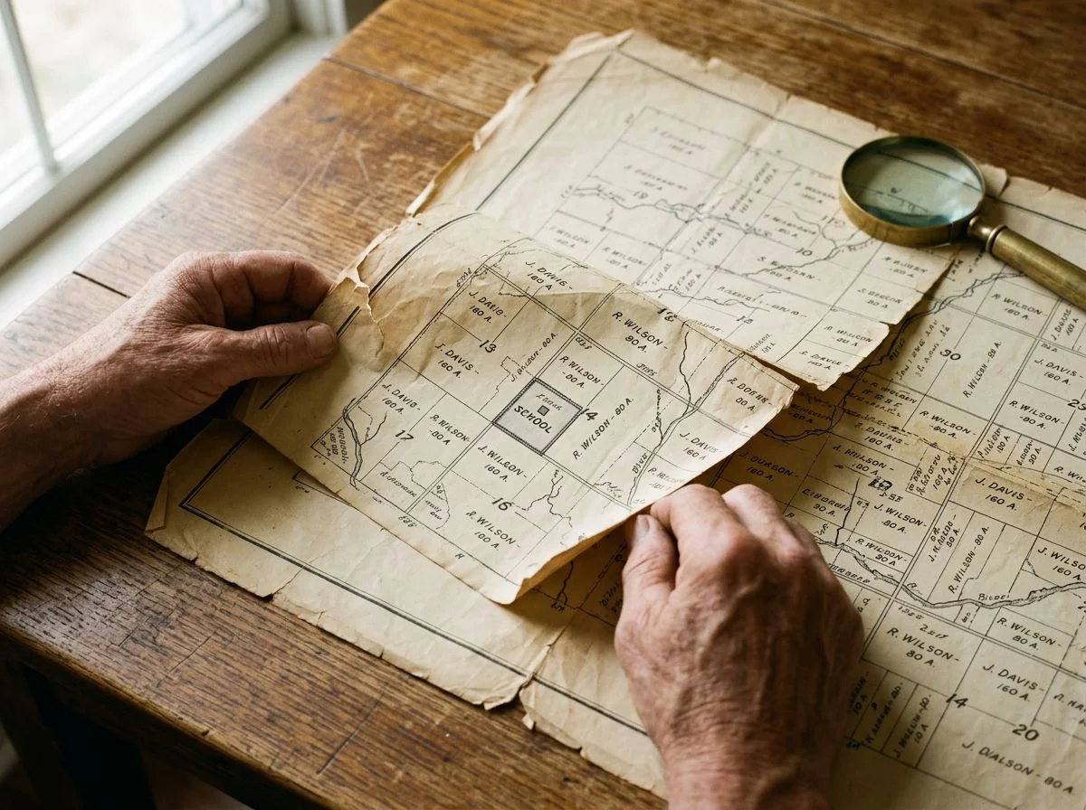
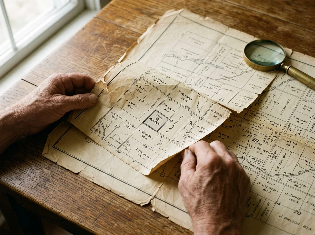
County plat maps are the single most important schoolhouse-hunting tool you’re not using. They show precisely where farmers deeded small lots — usually one or two acres — to township trustees for schools. Those tiny parcels jump out like road flares once you know what to look for.
Here’s the thing: a schoolhouse didn’t need much land. A farmer would carve off a corner of his property, deed it to the township for a dollar or two, and that was that. The school went up, the kids came, and fifty years later the building got sold back or torn down. But the lot lines? Those stayed on the maps.
Let me walk you through an actual example, because this is the kind of thing that sounds abstract until you see it done.
Ted Shideler investigated a property at 7426 West Stineymer Road in New Palestine. He started with the 1887 Griffing, Gordon & Co. Hancock County Atlas. It showed a small, oddly-shaped lot sitting right where the modern property sits. Not a farm, not a residential parcel — a tiny rectangle that didn’t match anything around it.
Then he pulled the Scarborough Company’s 1908 map of Hancock County and overlaid it. Same lot. Same boundaries. Still there, still separate from the surrounding farmland.
Finally, he checked the Hancock County GIS parcel viewer. The modern property lines matched the 1887 lot almost exactly. The residence on the property? The former Sugar Creek Township District 8 schoolhouse.
Three maps, three different decades, one conclusion. That’s the whole method.
Now, here’s where people get tripped up: county assessor databases. You’d think the construction date would confirm everything. But assessors often default old buildings to 1900 when they don’t have records. So a schoolhouse built in 1875 shows up as “built 1900” and you’d never know the difference. The maps don’t lie, but the databases sometimes guess.
I’ve started doing this for every new permission I research. I pull the oldest plat map I can find. Then I pull a second one from 20–30 years later. Then I check the modern GIS. When a tiny lot shows up in the same spot on all three, I know exactly where to swing.
Tracing Deeds to Locate Old Schoolhouse Sites
Deeds are the paper trail that pins a schoolhouse to an exact spot. They show who owned the land, when they carved off that one-acre lot for the township, and precisely where the boundaries ran. So you’re not guessing — you’re measuring.
Here’s the question that should haunt you every time you swing a coil on an old school site: How do you know the schoolhouse wasn’t 200 feet east of where you’re swinging?
Deed research answers that question definitively. A deed doesn’t describe a general area. It describes a parcel with metes and bounds or lot numbers tied to a specific survey. When a farmer deeded land to the township trustees for a school, that transfer created a legal description you can trace. Find the deed, find the boundaries. Find the boundaries, and you know exactly where the building stood. Not approximately.
The Library of Congress research guide on house history lays out the process in a way that transfers perfectly to schoolhouse hunting. Start at the County Tax Assessment Office. They’ll have ownership history and descriptive property files that give you a starting point. Then head to the county courthouse and trace the deed backward. Start with whoever owns the parcel now. Work back through each transfer until you hit the original conveyance from a private landowner to the township.
That original conveyance is your jackpot. It’s the moment the school lot was born.
Here’s what most people miss: property transfer records don’t stop at deeds. Agreements of sale, sheriff’s sales, and inheritances all generate their own paperwork. And those records often lead somewhere unexpected — civil court judgments, wills, and estate distributions. A farmer dies, his land gets divided among heirs, and suddenly there’s a probate file describing exactly which corner of which quarter-section went to the school district. That’s boundary-level precision.
Now, if you’re in one of the 30 public land states — which covers most of the Midwest and West — the National Archives holds Land Entry Case Files and township surveys. These are the original federal records of how the land was first divided and sold. They won’t name the schoolhouse. But they’ll give you the township and range coordinates, the section lines, and the original survey notes. Pair those with the county deed records, and you’ve got a legal description accurate enough to walk to the exact spot.
I’ll be honest: this is the least glamorous part of schoolhouse hunting. It’s courthouse basements and microfilm reels and asking county clerks questions they’ve never been asked before. But it’s also the part that separates a maybe from a definitely. Maps show you possibilities. Deeds show you boundaries. And when you’re standing in a field with a detector, the difference between those two is everything.
Field Clues That Reveal a Converted Schoolhouse
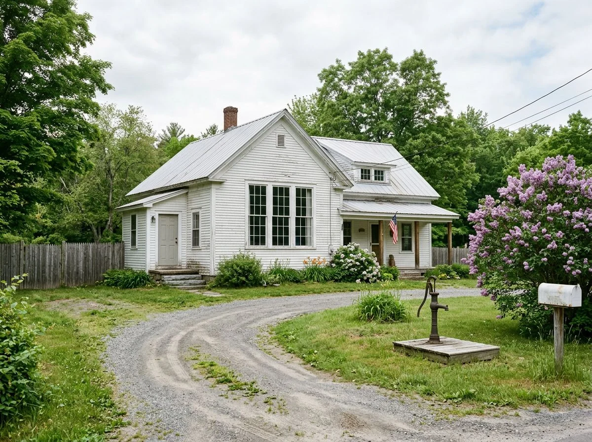
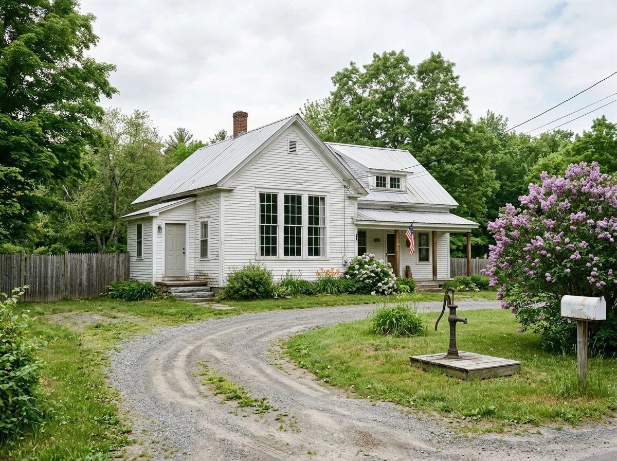
Converted schoolhouses hide in plain sight. You just need to know what your eyes are telling you. Look for mismatched brickwork where tall windows once stood. Look for long, thin sidewalks that seem oddly formal for a farmhouse. Look for buildings set way back from the road. Those three details are usually all you need.
I drove past a house outside Muncie last spring that stopped me cold. The brickwork on the front wall had this patchwork quality. Sections of newer brick filled in what were clearly once tall, narrow window openings. The proportions were all wrong for a farmhouse. Those windows had been built to flood a classroom with light, not to frame a living room view. I pulled over, snapped a photo, and checked the county GIS later that night. Sugar Creek Township District 4 schoolhouse, consolidated in 1923. I’d known it before I ever opened a map.
The thing is, these buildings were never designed to be homes. They were built for thirty kids and one teacher, and that shows in the bones. Ted Shideler’s documentation of the Delaware Township District 5 (Sharon) schoolhouse captures two other giveaways I look for every time. First, the long, thin sidewalk running from the road to the front door. Farmhouses don’t have sidewalks like that. Schoolhouses did, because kids walked in a line, twice a day, rain or shine. Second, the setback. Schoolhouses sat back from the road to leave room for a play yard. And that’s exactly the ground you want to swing a coil over.
Mismatched brickwork is the big one, though. When a schoolhouse became a residence, the new owner didn’t usually tear out the tall windows. They just bricked them in and cut smaller ones. The patch jobs are almost never seamless. Once you’ve seen it, you can’t unsee it. My wife has started noticing them now, which means I’ve officially made this weird.
School Censuses Show Who Actually Attended
School censuses and student registers put names, families, and daily life back into the bare-bones legal record. They tell you who actually walked to that schoolhouse, where they lived, and how many kids were losing pencils in the schoolyard. That’s the human footprint that tells you the site was active and worth swinging. Pair them with land records, and you can pinpoint the exact school district and physical location those families used.
Here’s the thing about schoolhouses: they weren’t just buildings. They were the center of a neighborhood’s daily rhythm, and the paperwork proves it. School censuses were taken specifically to track school-age children. A Nova Scotia school census from the 1800s and an Oklahoma school census from the early 1900s both list the names of all children attending local schools. That’s not just genealogy gold. That’s detecting intelligence.
Think about what those names tell you. If a school census lists thirty-one kids attending the Sugar Creek Township District 4 school in 1892, you’re not detecting a hypothetical. You’re detecting the place where thirty-one specific children spent their recesses. Every name is a coin dropped, a button popped, a marble lost in the dirt.
The UK side of this is even more detailed. Findmypast’s collection of school admission registers and log books covers thousands of schools across England and Wales between 1870 and 1914. These records contain full names, birth dates, parent or guardian names, home addresses, and admission and discharge dates. Home addresses are the key. They let you map where each student lived relative to the school, confirming the walking-distance logic we covered earlier.
Here’s my workflow: I start with the census or register to establish that a school was operating and who attended. Then I pair those records with land records to identify the specific school district and physical location. One record tells me the school existed. The other tells me exactly where it stood. Together, they tell me where to swing.
When a small local school closed, its administrative records were often donated to local historical societies. Those dusty boxes nobody looks at? That’s where the student registers ended up. I’ve found more than one productive site because some volunteer archivist filed a school register in 1973 and nobody had asked to see it since.
The log books are my favorite part, honestly. Teachers recorded everything — attendance, weather, discipline problems, even notes about the building itself. A log book entry complaining about a leaking roof tells you the school was operating in a specific year. A note about “the new stove” tells you when improvements happened. It’s the closest thing to walking through that schoolhouse door yourself.
And here’s what I love most: these records turn a permission request into a conversation. When you can tell a landowner, “Your great-grandfather’s name appears on the 1904 school census for this district,” you’re not just asking for access. You’re sharing their own family history.
Where the Records Actually Live
State and local archives are where schoolhouse records actually survive — but only if you know which office to call. The Michigan One Room Schoolhouse Association recommends a four-stop sequence: the current K-12 School District Superintendent’s Office, the Intermediate School District Superintendent’s Office, the County Clerk’s Office, and the Township Supervisor’s Office (source). That’s the short answer. Here’s the longer one, including how I learned it the hard way.
I spent an entire afternoon calling the wrong office three times before finding the right one. Wrong office number one: the County Recorder, who handles deeds but not school administrative records. Wrong office number two: the local library’s genealogy desk, which had plenty of books but no original district files. Wrong office number three: the state historical society, which told me — politely, after a long hold — that they don’t hold township-level school records at all. What finally worked was calling the Township Supervisor’s Office directly and asking one specific question: “Where did District 4’s records go when the school consolidated in 1923?” The clerk paused, then said, “You know, I think the historical society in the next township over has those boxes.” She was right.
That’s the sequence that matters. Start with the current K-12 district. They sometimes inherited records from absorbed one-room schools. Then try the Intermediate School District. It was the County School District before 1962 and often holds older consolidation paperwork (source). The County Clerk’s Office is your third stop for official minutes and boundary changes. And the Township Supervisor’s Office is where the institutional memory lives. Somebody there knows what got saved and what got tossed.
One more thing worth knowing: when small local schools closed, administrative records were often donated to local historical societies rather than kept by any government office (source). That’s why the township clerk’s tip mattered more than any formal directory. The records weren’t lost. They were just sitting in a basement three miles away, waiting for someone to ask.
Verifying Sites With the National Register
The National Register of Historic Places is your verification layer. It’s the federal record that confirms a schoolhouse existed, exactly where it stood, and often how big it was. Authorized by the National Historic Preservation Act of 1966, it turns “I think there was a school here” into “the building measured 805 square feet and sat right there.” That’s the difference between swinging a coil over a guess and swinging it over a documented site.
My favorite example of this is the Sydenstricker School in Fairfax County, Virginia. When I was researching it, the National Register listing gave me something I’d never seen before: precise interior dimensions. The main classroom was 805 square feet, with a separate 65-square-foot cloakroom. That’s not just architectural trivia. The Sydenstricker School was the last operating one-room schoolhouse in the county when it closed in 1939. Knowing that the classroom footprint was roughly 28 by 29 feet told me exactly where the building sat on its lot. It also told me where the schoolyard activity would have concentrated. Kids don’t lose coins in the cloakroom. They lose them in the yard, around the front steps, under the swing tree. The dimensions anchor the whole site.
The National Register isn’t the only specialized database worth checking, though. State historical societies have compiled their own documentation projects that never made it into the federal registry. The Indiana Historical Society’s One Room Schoolhouses in Indiana collection, compiled between 1959 and 1987, is a perfect example. It contains over 100 photographs and slides, individual files on 14 counties, and seven historical maps marking schoolhouse locations in Elkhart, Grant, Hamilton, Howard, Huntington, Miami, Montgomery, and Shelby counties. Those maps are the kind of thing you’d never find on your own. Somebody already did the research, walked the ground, and marked the spots.
The lesson here is simple: before you trust a hunch, check whether someone already did the verification for you. Federal records give you dimensions and dates. State collections give you maps and photographs. Between the two, you’re not guessing anymore — you’re confirming.
Why Schoolhouse Sites Produce Better Finds

Schoolhouse yards were where kids emptied their pockets, fought, traded, and lost things — for decades at a time, in the same small footprint. That’s the whole secret. A schoolhouse that operated from 1850 to 1920 hosted daily groups of 20–40 children for 70 years. That adds up to thousands of individual pocket-emptying events in a single acre. No other site type concentrates that much human activity in that small a space.
Think about what actually happened during a school day in 1880. Recess meant running, wrestling, trading marbles, showing off a pocketknife, maybe sneaking a coin from home to buy something from another kid. Kids fought over marbles and lost them. They hung upside down from tree branches and coins fell out of their pockets. They sat on the schoolhouse steps and emptied their pockets to count what they had. Every single one of those moments left something behind.
The records back up how actively these buildings were used. The 1859 common school register from Caswell County, North Carolina documents a teacher’s warning about a hazardous wooden chimney. That’s proof these weren’t abandoned shacks but maintained, occupied buildings where daily life actually happened. That daily life is what detectorists are digging up.
Compare that to a farm field. A farmer might walk the same path for decades, sure. But he’s not cartwheeling, trading, or emptying his pockets every afternoon. The schoolyard was a pressure cooker of small losses. Unlike a church or a fairground, it was that way five days a week, nine months a year, for generations. That’s why a single acre of former schoolyard can produce more signals than ten acres of random farmland. The math just works in your favor.
Permission and Ethics at Schoolhouse Sites
Schoolhouse sites fall into three buckets — private property, public land, and protected historic sites. Each carries different rules. Get permission first, check local regulations second, and never assume a National Register listing automatically bans detecting. It doesn’t. Local ordinances do.
Most forgotten schoolhouse sites sit on private farmland now. The building’s long gone. The lot got absorbed back into somebody’s soybean field. The current landowner has no idea kids were trading marbles there in 1885. That’s exactly what happened when I found a schoolhouse site on a farm outside Sacramento. I’d pulled the 1887 plat map and cross-referenced it with the county GIS parcel viewer. I confirmed the old District 4 schoolhouse sat in the northwest corner of a hay field. The farmer who owned it had farmed that ground for thirty years and had no clue. When I knocked on his door and showed him the map — the little one-acre square deeded to the township trustees, right there on his property — he just stared at it for a second. Then he laughed and said, “Hell, my grandkids play in that corner. You’re telling me there was a school there?” He gave me permission on the spot, mostly because he wanted to see what I’d find.
That’s the thing about private property: the landowner is your gatekeeper, and the map is your credibility. Showing up with documentation changes the conversation. You’re not some guy with a detector asking to dig holes. You’re a researcher who’s done the homework.
Public land is trickier. Some county parks and state lands require permits for metal detecting. Others prohibit it outright. And if the site is listed on the National Register of Historic Places or protected by a local historic preservation ordinance, you need to check those specific regulations before you swing. The National Register documents the site. It doesn’t automatically restrict detecting. But local historic districts often do. When in doubt, call the county planning office or the local historical society and ask. Five minutes on the phone beats a fine or a confiscated detector.
Frequently Asked Questions About Schoolhouse Research
Most of the questions I get about schoolhouse research aren’t about detecting technique. They’re about the paperwork. People want to know why a site isn’t showing up in county records, or whether they even need to bother with land records at all. Fair questions. Here are the ones that keep coming up.
“My county GIS says the building is from 1900, but I know it’s older. What gives?”
This is probably the most common frustration I hear, and it’s not you — it’s the database. County assessor databases often default old construction dates to 1900. That means anything built before that just gets lumped into a placeholder year. That’s why you can’t stop at the GIS parcel viewer. You’ve got to dig into the historical land records to find the actual deed transferring that one-acre lot to the township trustees. The assessor’s office isn’t trying to mislead you. They just never had a reason to verify construction dates on a building that’s been gone for a century.
“Is there a shortcut for finding school records without driving to the county courthouse?”
FamilySearch’s catalog is the closest thing I’ve found to a shortcut. You can search by state, then county, then filter for “School records” — and it’s free. I’ve pulled school censuses and district registers from there that told me exactly which families sent kids to a particular schoolhouse. That helps confirm you’re on the right site before you ever swing a coil.
“Do I really need to trace deeds if I already have a plat map showing the schoolhouse?”
Plat maps tell you where the school lot was. Deeds tell you whether the building actually stood where you think it did. And sometimes the answer is no. Schoolhouses got moved, rebuilt, or abandoned and replaced. The deed record is the thing that pins it down.
A Weekend Plan for Your First Research Project
The workflow is simple. Start with plat maps. Cross-reference with county GIS. Trace deeds at the courthouse. Check local historical society files. Verify with the National Register or state databases. Then drive the two-mile grid to confirm the site in person. Do it once and you’ll never look at a rural crossroads the same way again.
I mean that literally. That’s a promise.
Here’s how it plays out in real time. Saturday morning, you pull up the 1887 plat map for your county and mark every one-acre school lot you can find. Then you open the county GIS viewer and layer those plots against modern parcels. Some will line up perfectly with existing farm boundaries. That’s your first confirmation. Others won’t, and that’s fine. The assessor’s database isn’t gospel.
Saturday afternoon, you’re at the courthouse tracing deeds backward from the current owner. Tedious? A little. But that’s where you find the exact lot deeded to the township trustees. Sometimes the deed tells you the schoolhouse stood on the east half of the lot, not the west. That’s the difference between swinging over the right patch of ground and wasting an afternoon fifty feet away.
Sunday morning, hit the local historical society. They’ve got files nobody’s digitized — old photographs, school censuses, maybe a register from 1859 noting which families sent kids there. Then cross-check the National Register or your state’s historic site database to see if anything’s already documented.
Sunday afternoon, you drive. That’s the fun part. You’ve done the paperwork, and now you’re just confirming what you already know. The slight rise in that soybean field matches the plat. The old fence line follows the school lot boundary. When it all lines up, you’ve got something most detectorists never bother to find.
Then you knock on a door and ask permission. But that’s a whole other section.

My name is Paul and I am the founder of Detector For Metal, a dedicated resource for metal detecting enthusiasts seeking to uncover historical treasures and connect with the past using the latest technology. As a stay-at-home dad and family man, I’ve found metal detecting to be the perfect hobby that combines family adventure with historical learnings for the whole family.
As a father, I’m deeply committed to passing on this hobby to the next generation of detectorists, starting with my own children. I share advice on everything from metal detecting with kids to exploring the top 10 metal detecting sites you never thought about. My methodical approach to the hobby goes beyond the thrill of discovery—it’s about creating family traditions while preserving history and sharing the stories of those who came before us.