Table of Contents
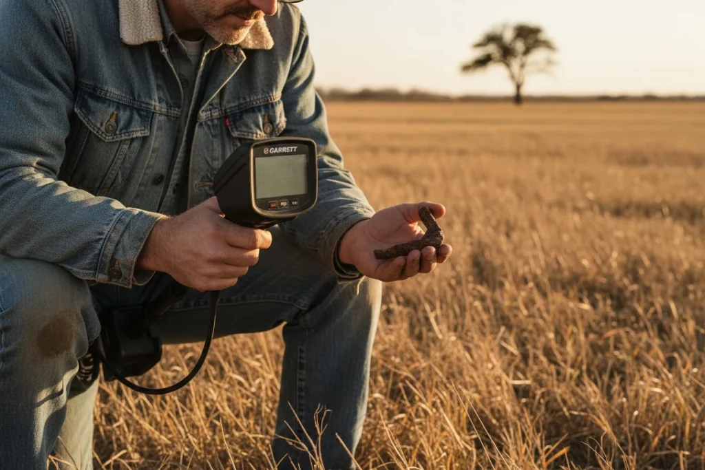
You already carry the tool that solves the most frustrating problem in metal detecting: forgetting exactly where you found what. With a free GPS app, you can log each find, map it, and start seeing patterns that point you straight to more silver, more copper, and more history.
You’re standing in a grassy field, staring at a featureless patch of ground. Three weeks ago you dug a beautiful Merc dime here — right? Or was it ten feet to the left? You dig a few test holes, hauling up rusted nails and shotgun shells, but the dime’s magic spot stays lost. I’ve been there. With a 1909 VDB Lincoln penny, actually. I had it in my hand, snapped a photo on my phone, and then somehow walked away without marking the hole. Two weekends of grid-searching later, I never found that coin again. The solution wasn’t a better detector or a larger coil — it was better data.
Over 70% of smartphone users already rely on GPS mapping apps for daily navigation, according to OcuMap. That same technology — sitting in your pocket right now — can turn your hunts from guesswork into systematic pattern recognition. In this article I’ll walk through the best smartphone apps for detectorists, show you how to log finds cleanly, share tips for cleaning up noisy GPS data, and explain how even a few months of logged coordinates can reveal hidden trends — like the fact that every 1940s silver quarter I find comes within fifteen feet of an old tree line.
The dime I lost taught me a hard lesson. The GPS app I started using the next week is the reason I haven’t lost a single find location since.
Can GPS Logging Transform Your Metal Detecting Patterns?
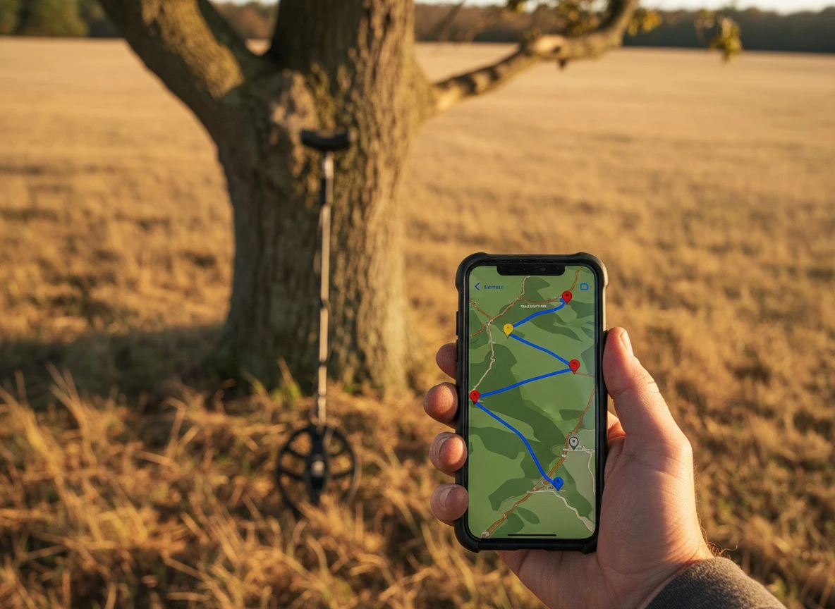
Logging finds with a GPS app does more than save you the frustration of losing a coin’s location. It turns your entire year of hunting into a searchable database, revealing hidden relationships between find types, terrain features, and soil conditions that you’d never spot on memory alone.
My buddy Tom and I spent a summer working an 1870s homestead site outside Sacramento. We’d each pulled two or three seated Liberty dimes, but never in the same spot twice. One Saturday, Tom pulled a beautiful 1872 dime near an old post-hole that looked like a fence-line remnant. I logged it in my GPS, noted the soil type (sandy loam), and moved on. The next week, same thing — dime near what looked like another fence post, same soil. Within three months, we’d dug eight seated dimes from that field. Every single one came within six feet of a buried fence line in that sandy loam. Without the GPS logs, we’d never have connected those dots. Tom called it luck. I called it data.
The real power comes when your app captures more than just coordinates. Fulcrum, for example, records altitude, speed, and precise timestamps with every point — metadata that turns a simple find location into a multi-dimensional data point. You start seeing correlations: seated dimes appear near fence lines, but only after spring rains when the soil moisture drops below a certain threshold. Merc dimes cluster near the old well, but only in the spots where the halo effect pushes deeper targets into your coil’s range. Pattern recognition isn’t magic — it’s observing recurring relationships between what you find, where you find it, and the conditions when you found it. GPS logs just make those relationships visible. And once you see them, you stop hunting randomly and start hunting with intention, focusing on the techniques that actually work in those specific conditions.
Best Smartphone Apps for Logging Metal Detecting Finds
Not all GPS apps are created equal when you’re standing in a muddy field with a handful of wheat pennies and a fading phone battery. After testing a dozen options over the past three seasons, here are the ones that actually work for detectorists — whether you’re running a high-end Deus II or still figuring out your first machine.
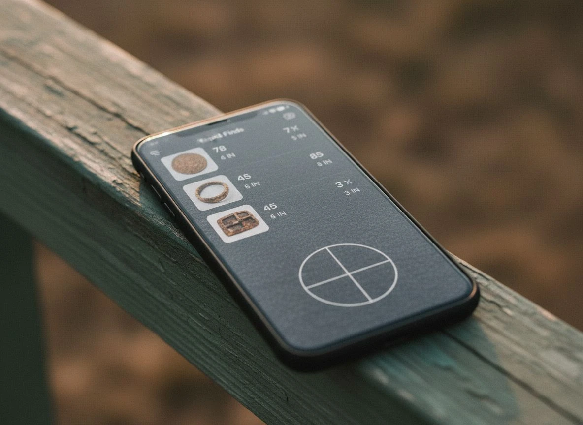
BasicAirData for Offline Free GPS Logging
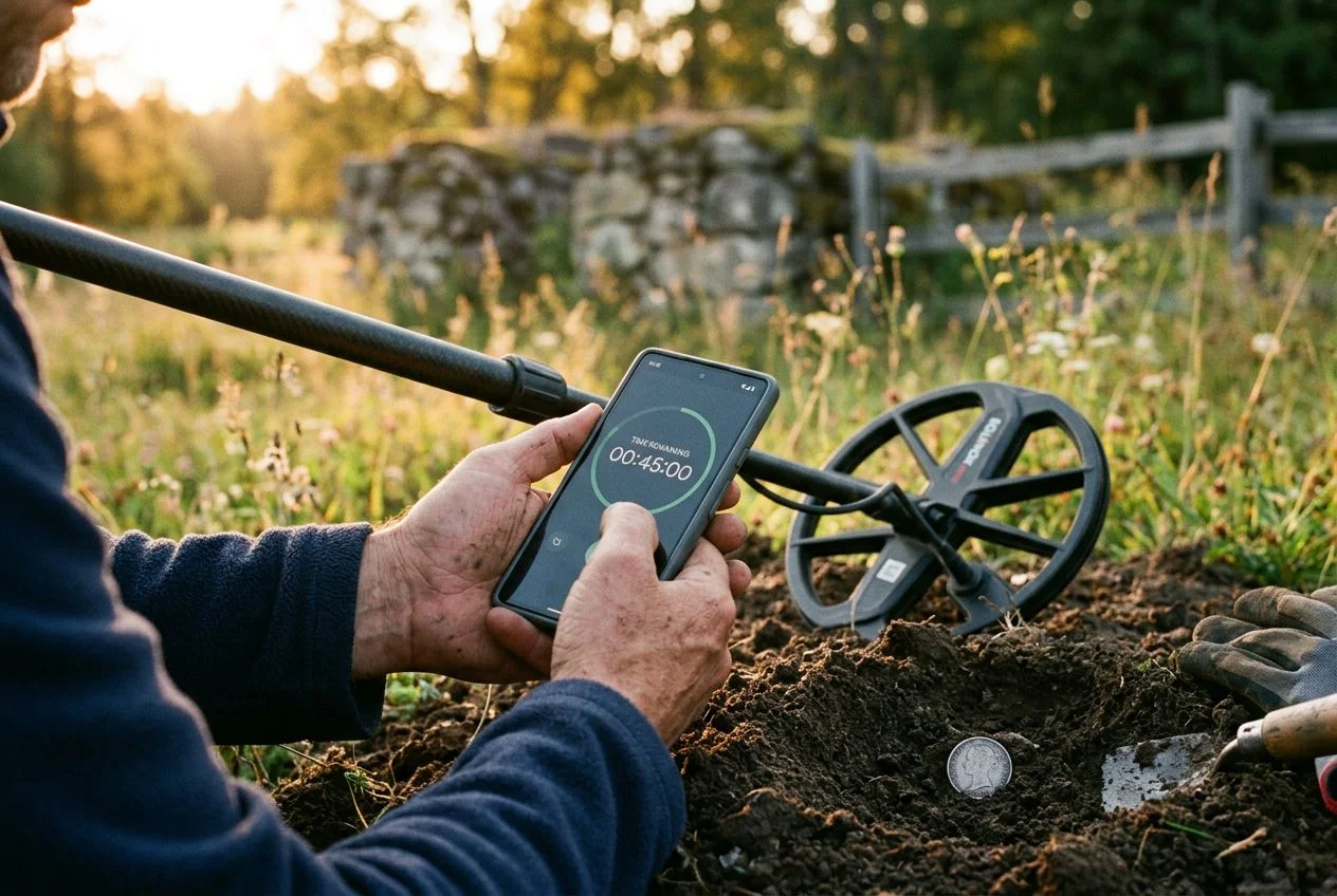
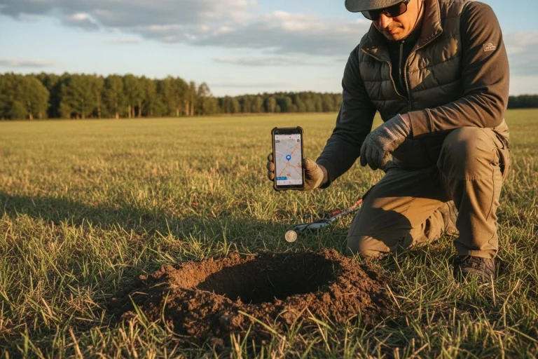
If you’re on a budget or hunting spots with zero cell service, BasicAirData GPS Logger is your best bet. It’s free, open-source, and sips battery like a miser — I’ve logged six-hour hunts on a single charge without the app draining my phone. You drop a placemark at each target, add a quick text note (I jot down depth and T.ID), and the app exports clean KML or GPX files that load straight into Google Earth.
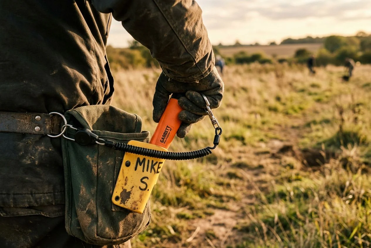
The catch? No photos, no tags, no fancy UI. But if your goal is simply preserving coordinates so you can build a heat map over time, BasicAirData does the job without a subscription. My buddy Mike runs it on an old backup phone he keeps in his pouch. Simple, durable, free.
GO TERRAIN and Detector Maps for Detector Logging
When I’m hunting with my XP Deus II, GO TERRAIN is my go-to. The AUTO mode drops a pin automatically at every target, which is fantastic for fast-paced hunts where you don’t want to stop and manually log each pull-tab. But here’s the feature that matters for pattern recognition: you can attach photos, short audio clips, and the exact T.ID number to every find. After a month at one site, you can filter your map by T.ID range and watch the silver quarters cluster near the old oak line — that’s actionable data.
Detector Maps offers similar functionality with a twist: it integrates historical goldfields and claim boundaries directly into the map view. Perfect for prospectors hunting old mining camps. Both apps work offline after you download the map tiles at home.
iSmart Detect and OnX Hunt for Gridding Research
iSmart Detect solves the “where have I already swung” problem beautifully. Snap a photo of your find, and it pins that image to a Google Maps interface with your notes attached. Over time you build a visual diary of every hunt. I use it for sites where I’m gridding systematically — the photo timeline helps me remember soil conditions and ground cover when I’m analyzing patterns later.
OnX Hunt overlaps beautifully with detecting, even though it’s built for hunters. The property boundary layer is invaluable for knowing exactly where a permission starts and ends. I’ve avoided three awkward confrontations thanks to OnX showing me I’d drifted twenty feet onto a neighbor’s parcel. For logging finds from specialty hunts, the waypoint system lets you attach notes and photos — and the offline topo maps work anywhere.
| Scenario | Best App | Why |
|---|---|---|
| Broke or off-grid | BasicAirData | Free, offline, low battery drain, KML export |
| XP Deus II user chasing T.ID patterns | GO TERRAIN | AUTO mode + photo/audio/T.ID attached per find |
| Prospector hunting old gold camps | Detector Maps | Built-in historical goldfield + claim boundary layers |
| Gridding a large site over months | iSmart Detect | Photo journal timeline + Google Maps integration |
| Navigating permissions | OnX Hunt | Property boundaries + landowner data + offline topo maps |
A Pro Detectorist’s Step-by-Step GPS Logging Guide
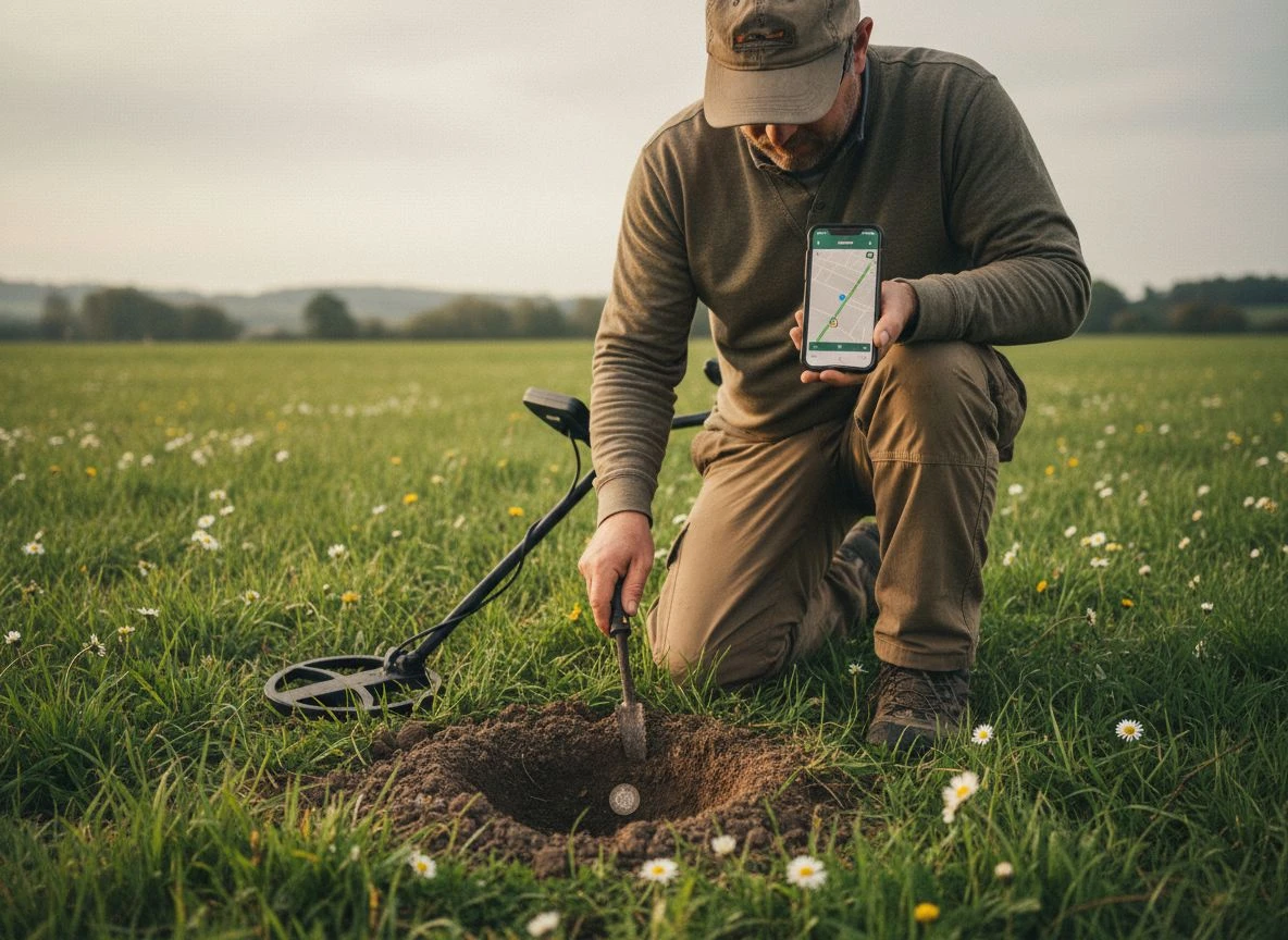
Here’s how to build a find-logging workflow that catches patterns without killing your hunting rhythm. Follow these seven steps before you swing your first coil, and you’ll never lose another productive spot.
I learned this the hard way. Last fall I drove forty minutes to a promising site — old river access near a Gold Rush-era mining camp — fired up my GPS logger, and spent two hours digging targets. When I checked my phone afterward, the app showed a straight line from the parking lot to the riverbank. Nothing else. Turns out auto-pause had kicked in every time I stopped to dig, and my path was basically invisible. Now I check my logging settings before every hunt the same way I check my coil cable — quick, automatic, non-negotiable.
Get this right once, and it pays dividends every hunt after.
The 7-Step Checklist for GPS Data Logging
- Enable high-accuracy GPS in your phone settings. Standard battery-saving mode is useless in the field — you need location precision within a few feet.
- Download offline maps before leaving home. This saves you when you’re miles from cell service staring at a blank grid. Google Maps, BasicAirData, and Detector Maps all support offline downloads.
- Set your logging interval. I use every 3 seconds for path tracking. Longer intervals miss turns; shorter ones drain battery and clutter the track file with redundant points.
- Create a dedicated find folder in your app before the hunt. Name it by date and site — “2026-06-12_Auburn_Homestead” — so you can search later without sorting through fifty generic “New Track” logs.
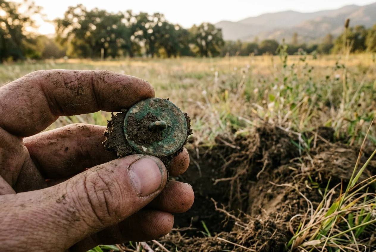
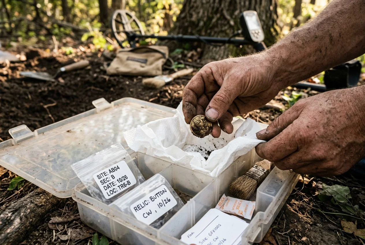
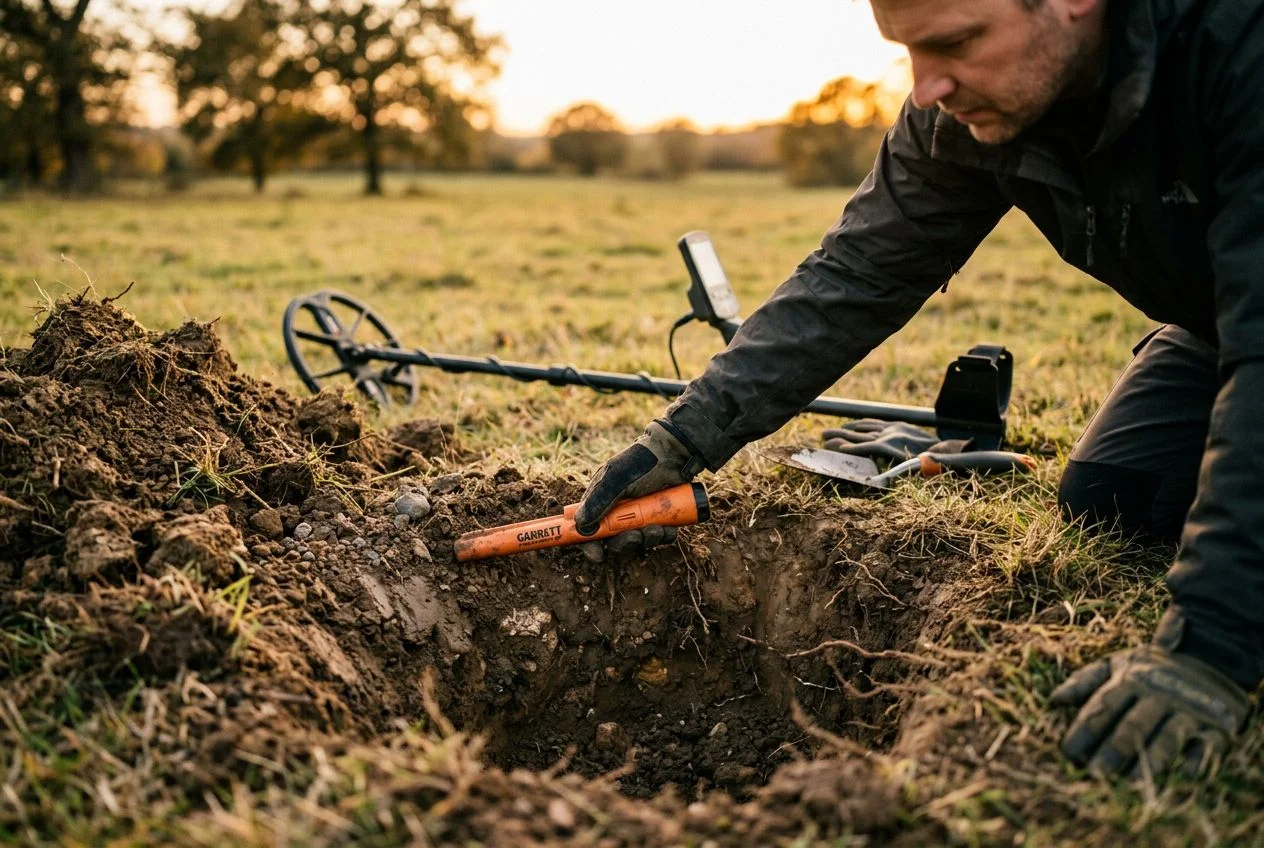
- Take a photo of the find in the hole before you remove it. Fulcrum auto-geotags every photo with coordinates embedded in the metadata, so the image itself becomes a precise location record. A cleaned-up glamour shot on your patio tells you nothing about where the target was resting in the soil.
- Add notes right at the target. Depth, soil type (sandy loam, clay, gravel), target ID number, and whether the signal was crisp or fuzzy. In trashy areas, use GO TERRAIN’s PUSH mode instead of AUTO — manually tag only the keepers to avoid maps that look like a splattered paint canvas. I log every interesting signal but skip the rusted nails and pull-tabs. You can always filter later, but you can’t un-clutter a map you let run on AUTO.
- Save after every hunt. I’d rather have ten small files than lose three hours of data because my app crashed mid-export.
Pro tip: If your phone’s GPS accuracy drifts more than 10-15 feet in heavy tree cover or near cliff faces (common in any canyon or forested site), pick up an external Bluetooth GPS receiver like the Garmin Glo 2. Fulcrum supports external Bluetooth GPS devices natively. The receiver costs about $100 and drops drift down to 3-5 feet — worth every penny when you’re trying to pinpoint a dime-size target for return visits.
How to Clean GPS Noise and False Points from Your Data
All that careful logging won’t help you if your data is junk. Think of cleaning GPS tracks the same way you tune your frequency to cut through electrical interference — you’re filtering signal from noise. A raw track from a tree-covered park looks nothing like the neat line you imagined walking. Mine came out as a frantic zig-zag with a dozen duplicate pins clustered near a single oak, plus three “finds” that plotted six feet into the adjacent creek.
Modern phones are decent, but under heavy canopy you’re looking at ±5 meters of error. That means don’t log a find where you think it is — log where the phone says it is. Trust the device, not your memory.
Cleaning takes ten minutes in Google Earth or QGIS. Three simple steps:
- Delete duplicate points. If you dropped two pins within three seconds at the same spot, keep one.
- Remove points clustered unrealistically close — anything within six inches of another point is almost certainly GPS drift, not a real target location.
- Align your walk path with terrain features. Does your track show you walking through a building or across a pond? That’s drift. Delete those segments.
BasicAirData also offers automatic altitude correction, which helps if you’re hunting slopes. And you can manually delete stray waypoints right in the app before export — no desktop software needed. OcuMap’s documentation recommends checking your accuracy reading before every drop; if it’s over 8 meters, wait a few seconds. The point is: clean data reveals real patterns. Garbage coordinates just make you dig more pull-tabs.
How to Turn Logged Data into Detecting Patterns
After a season of logging finds, most detectorists end up with a mess of pins and tracks that look like scribbles on a napkin. But if you step back and treat those points like clues in a cold case, the ground starts talking. I’m not talking about fancy machine learning — a simple color-coded map in Google My Maps or QGIS can reveal clusters you’d never see standing in the field. It’s time to switch from logbook collector to data detective.
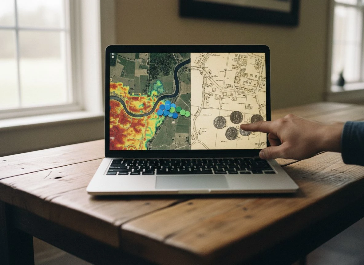
Using Heat Maps in Google My Maps and QGIS
Google My Maps is free, easy, and perfect for hobbyists. Import your KML file of finds, then color-code by era or material: red for silver coins, blue for copper, green for relics. I did this with two years of data from a local 1900s park, and the pattern smacked me in the face. The Merc dimes and barber halves clustered within twenty feet of a long-gone picnic shelter (found it on a Sanborn map), while all my silver — a seated Liberty, a couple of halves — pooled along a creek bank a hundred yards away. Different soil, different activity zones. Without the heat map, I’d still be wandering those two zones randomly.
More advanced visualizations in QGIS let you overlay heat maps from raw point density and even run basic proximity analysis — but you don’t need them. A few manual color layers on a satellite view do the same job for most of us.
When Do Deep Metal Targets Usually Surface?
Logging date and time along with each find unlocks temporal analysis. I noticed that deep silver coins — anything below eight inches — appeared almost exclusively in my logs from late winter and early spring. Why? Rain. Moist soil conducts better, and the ground is soft enough for deeper targets to produce clear signals that you’d miss in dry summer. If your data shows a seasonal spike, plan your trips accordingly. My buddy Mike thought it was luck. I showed him my heat map with timestamps; he shut up pretty quick.
Merge GPS Data with Historical Maps for Better Sites
A color-coded find map is powerful, but overlaying it on historical aerial photos or a Sanborn fire insurance map turns hunches into certainties. I take my GPS-exported points and drop them onto the 1915 Sanborn sheet of that same park. The picnic shelter shows up as a tiny black rectangle. The creek is labeled “Hinkle Creek.” And my cluster of silvers sits exactly at a 1911 footbridge crossing — a spot I’d have never guessed without the map overlay. The GPS data told me where, the Sanborn told me why.
Even without desktop GIS, you can do this by importing your KML into Google Earth and toggling historical imagery. The key is to correlate your find locations with old structures, paths, and water features.
Record weather, soil color, and time of day in your notes — not just coordinates. That extra context turns a pin into a story, and stories reveal patterns you can walk back to.
How to Keep Your Secret Detecting Spots Private
Your GPS logs are a treasure map — and if you’re not careful, you’re handing out copies. Mike learned that the hard way when he accidentally shared a cloud folder with “all his spots” visible on a public map. Embarrassing, and he lost two honey holes to other detectorists who had screenshots before he could pull the folder.
A few simple habits keep that from happening to you. Both Detector Maps and GO TERRAIN offer offline saving, so your data never touches the cloud unless you explicitly upload it. BasicAirData exports can be kept entirely local — save the KML file to your phone or a private USB drive and skip the cloud backups. Fulcrum, while powerful, records metadata like timestamps and precise location with every entry. Be ruthless about what you upload and where.
Practical tips: 1) Use your app’s offline mode whenever possible. 2) When sharing screenshots, blur coordinates — Mike’s mistake wasn’t the map, it was a clear screenshot of a pin-drop. 3) Label finds generically in public exports (“1930s spot” instead of “123 Oak St.”). 4) Avoid backing GPS logs to cloud services that index location data (Google Photos, iCloud, etc.). 5) Review app privacy policies — some claim rights to your data for “service improvement.”
Protecting your spots isn’t paranoia; it’s the same ethic that drives researching metal detecting sites in a library. You do the work, you keep the data locked down, and you share stories — not coordinates.
Is Your Smartphone Your Most Underrated Metal Detecting Tool?
If you’re still relying on memory, random guesswork, or hope alone, you’re leaving silver in the ground. A few minutes of GPS logging after each hunt — or even during it — builds a database that compounds in value over time. Every pin is a data point. Every path is a clue. Over 70% of smartphone users already rely on GPS mapping apps for daily navigation, according to OcuMap. You’re not learning a new skill; you’re applying an existing one to your hobby. The payoff isn’t theoretical. It’s a seated Liberty dime you pull because your heat map told you to check the creek bank in March.
Go start your database. Open one of the apps above, record your next hunt, and come back in a month to look for patterns. You’ll be stunned at what you overlooked. And when you find that next silver dime because your map told you exactly where to swing, drop me a note. I want to hear about it.
My wife says I collect data like others collect stamps. She’s right. But that data has paid off in silver, relics, and stories I’d never have found otherwise. The best detector isn’t the most expensive one — it’s the one you swing over a well-researched, GPS-mapped spot. The Hidden Historian Mindset is about more than documenting finds. It’s about making the ground talk back. And once you hear what it’s saying, you’ll never hunt blind again.

My name is Paul and I am the founder of Detector For Metal, a dedicated resource for metal detecting enthusiasts seeking to uncover historical treasures and connect with the past using the latest technology. As a stay-at-home dad and family man, I’ve found metal detecting to be the perfect hobby that combines family adventure with historical learnings for the whole family.
As a father, I’m deeply committed to passing on this hobby to the next generation of detectorists, starting with my own children. I share advice on everything from metal detecting with kids to exploring the top 10 metal detecting sites you never thought about. My methodical approach to the hobby goes beyond the thrill of discovery—it’s about creating family traditions while preserving history and sharing the stories of those who came before us.