Table of Contents
My wife says I collect obscure facts like other people collect stamps. She’s not wrong. But every once in a while, an obscure fact leads to something real. That’s exactly what happened the afternoon I found a ghost siding.
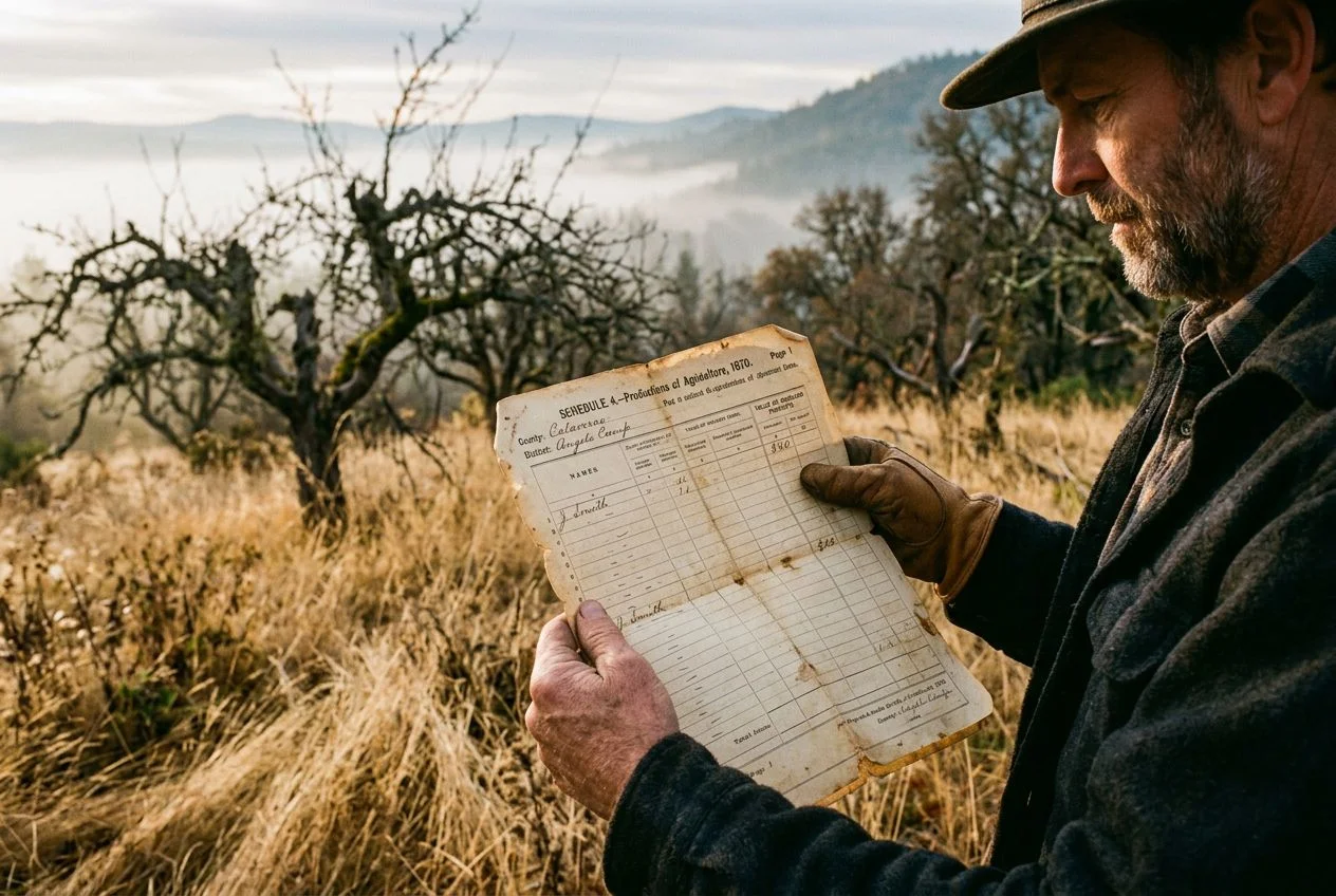
I was sitting in the county recorder’s office, squinting at a 1907 plat book, when I noticed a thin dashed line running through a parcel labeled “J. H. Miller — 40 acres.” It didn’t match anything on modern maps. Not Google Maps. Not the USGS topo. Nothing. A single 1910 newspaper clipping mentioned a grain elevator just outside Sacramento that served “the Miller siding,” and that faint dashed line was the only map evidence it ever existed. We all know sidings are hard to find. They’re routinely left off regional rail maps, and the National Archives holds roughly 11,000 cubic feet of railroad valuation maps. But I’ll show you exactly how I unearthed this one using a three-step process: plat books, old rail maps, and property deeds. Next time you’re staring at a confusing property line on a Sanborn map, remember: every track has its secret. Some are just waiting to be found.
How can a plat book find a ghost siding?

A plat book is a county-level map that records property lines and owners, organized by township and range. For a detectorist, it’s a goldmine. It reveals forgotten railroad easements and sidings that never made it onto modern maps.
The first time I opened a plat book, I thought it was just a boring list of property lines. Then I realized those lines tell a story. A 40-acre parcel that changed ownership every five years? That’s usually a farm being bought up by a railroad company. A narrow strip labeled “R.R.” or a dashed line cutting across a field? That’s likely a siding—exactly the kind of forgotten infrastructure that yields dropped tools, tokens, and coins from the men who worked it.
Historical plat books from the late 1800s to early 1900s are the most useful. They were recorded under the Public Land Survey System (PLSS), so you can match coordinates to modern maps. Sidings often appear as thin strips of land. They aren’t always labeled as a railroad, but the pattern is unmistakable once you know what to look for.
How do you get your hands on them? Start with the county recorder of deeds or the local historical society. Many also live in digital collections like FamilySearch or state archive websites. You don’t need to become a PLSS expert—just learn to spot those dashed lines. For more on where to find this kind of material, check out Your Ultimate Metal Detecting Weapon Is Researching Metal Detecting Sites in a Library. Trust me, those boring property maps are the key to unlocking whole new hunting grounds.
ICC valuation maps for locating ghost sidings
ICC Valuation Maps are the gold standard for pinpointing forgotten sidings. They were created with surveyor-level precision across the entire U.S. rail network. If you can find the right valuation section number, you can locate sidings that vanished from every other map.
The Valuation Act of 1913 forced every railroad to document its infrastructure in obsessive detail for the Interstate Commerce Commission. The result? Massive, hand-drawn maps showing every siding, switch, water tank, and telegraph pole along each line. The National Archives holds roughly 11,000 cubic feet of these records. They’re your ticket to finding ghost sidings.
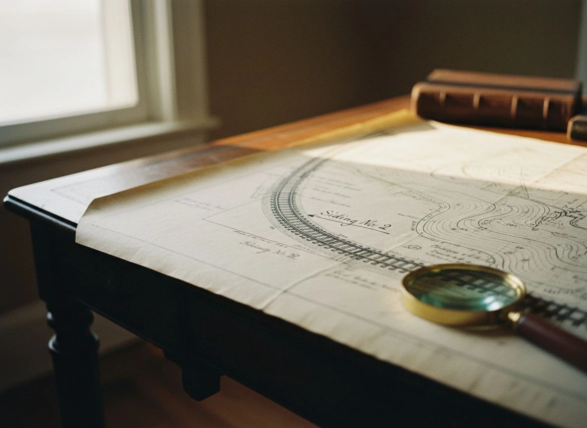
The trick is finding the right map. Start with the system index maps—overview maps that show the “Valuation Section Number” for each segment of track. That number is like a Dewey Decimal code for railroad infrastructure. Once you have it, you can order the detailed sheets. The Taylor Research Group emphasizes that supporting documents like engineering field notes and land acquisition forms are just as valuable as the maps themselves. They often mention sidings by name.
I remember printing out a valuation map section for a line near Auburn. The map was so detailed it showed a “Siding No. 2” that could hold 12 cars. I drove out there and found a faint depression in the field. Three feet down, I hit a complete spike. That spike didn’t look like much, but it confirmed the siding was real. After that, I cross-referenced it with modern aerial imagery using Find Hidden Detecting Sites to zero in on the exact spot where the tracks once lay.
Fair warning: these maps are enormous. Some sheets are three feet wide. You’ll need to zoom in to spot your siding, and you’ll be squinting at tiny text. If you’re lucky, digitized versions exist (the University of Connecticut’s digital archive of New Haven Railroad maps is a great example), but most are still physical-only. Call the Cartographic Branch before you visit, or order scans by mail. Once you have a valuation section number, you’re minutes away from finding a siding that’s been erased from every modern map.
Overlaying plat books and rail maps for ghost sidings
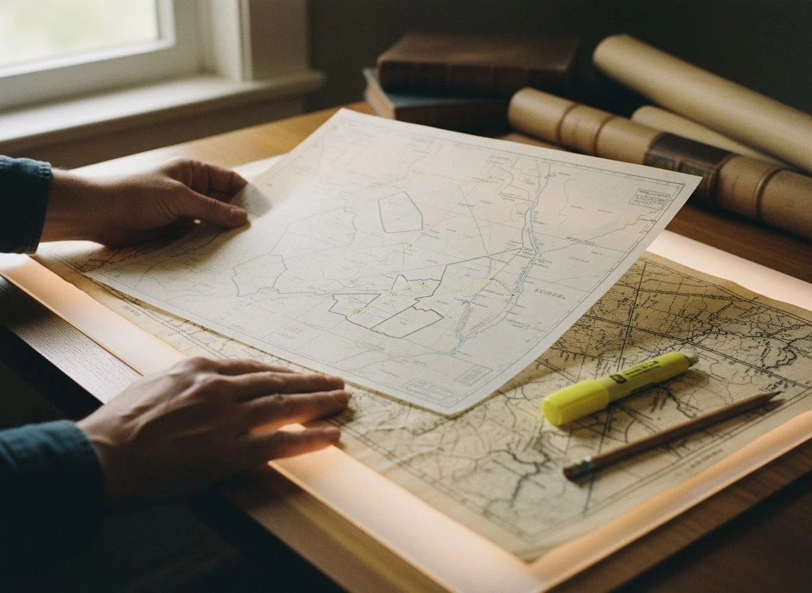
The quickest way to pinpoint a forgotten siding is to overlay your plat book on your rail map and look for any track feature that cuts inside a property line instead of running along one. That’s not a main line — that’s a farm or factory spur.
The first time I tried this, I used tracing paper and a highlighter. I felt like a conspiracy theorist connecting dots on a corkboard. But it worked. Here’s the simple trick: plat books show property boundaries, while rail maps show the tracks. When a dashed line representing a siding appears inside a parcel instead of along its edge, you’ve found something promising—a private spur that served a specific business or farm.
I found a plat book from 1908 showing a triangular parcel near Folsom. The property was an odd shape, and the rail map from the same era showed a curved siding that matched the triangle’s interior perfectly. That spot yielded a dozen 1890s tokens and a complete railroad lantern globe.
Here’s the step-by-step method I use, whether I’m working with digital files or physical maps:
- Align property corners first. Match three or four obvious boundary lines on your plat book to the same features on your rail map. In Google Earth, you can import both as image overlays and adjust transparency to get them lined up.
- Scan for non-boundary rail features. Run your eye along every track segment. If a siding or spur runs through a parcel rather than along its edge, that’s your target. It likely served a specific structure—a grain elevator, a lumber yard, or a factory.
- Mark the coordinates. Once confirmed, drop a pin with GPS coordinates and note which plat book page and rail map section it came from. This documentation is gold for getting permission from landowners and for revisiting the spot years later.
For physical maps, a light table or even a bright window works. For digital, I use a free tool like GIMP to layer two images with adjustable transparency. The USGS TopoView site also lets you overlay historical topo maps on modern satellite imagery. It’s a great tool for spotting rail corridors that match your plat book findings. Just remember: the plat book shows you who owned the land, while the rail map shows you where the tracks ran. Together, they tell you exactly where to swing your coil.
County deeds and leases reveal hidden railroad sidings
Deeds are the final checkpoint in your research — they confirm a siding’s exact legal location, dimensions, and ownership history. Most detectorists stop at maps, missing the legal documents that turn a guess into a target.
Mike called me lucky when I found a seated dime at a siding I’d researched. Luck had nothing to do with it. I’d spent an afternoon at the county recorder’s office reading a 1912 lease agreement between the railroad and a fruit packing company. The lease described the siding’s exact location: “commencing at a point 200 feet south of the crossing on Main Street…” That’s not luck. That’s deeds.
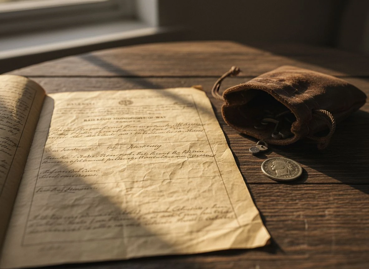
Here’s what you’re looking for: deeds and leases for railroad right-of-way or easement access will specify the width (typically 10–30 feet) and precise length of a siding. They’re indexed at the county recorder’s office by grantor name. Since railroad companies often appear in hundreds of transactions, you can search the grantor/grantee index specifically for company names like “Southern Pacific Railroad Company.”
Before diving into deeds, check whether the siding was legally abandoned or railbanked using the Rails-to-Trails Conservancy’s legal status framework. This tells you whether the property reverted to adjacent landowners—which matters for permission.
This is where ethics comes in. Deeds will tell you who owned the land the siding sat on. If it’s private property now, you need permission. I’ve knocked on doors with a copy of a 1916 lease in hand, explaining exactly why I wanted to detect. I almost always got a yes.
I document every deed reference alongside my finds now. It’s become part of how I record provenance. The seated dime I found that day? It matched the 1910–1915 window from the fruit company lease exactly. Dating worn finds like that doesn’t require a readable date—just a good paper trail.
Field verification strategies for ghost siding sites
The first time I drove to a siding location I’d mapped from a 1910 plat book, I spent 20 minutes walking in circles because the site was now a parking lot. That’s when I learned to always bring a backup location. The transition from research to fieldwork is where the real detective work begins.
Your first tool isn’t a detector—it’s Google Earth. Drop the GPS coordinates you recorded, then use the historical imagery slider to step back through satellite images. Look for a linear depression in a field, a straight line of different vegetation, or a raised gravel ridge that doesn’t match the terrain. Google Earth tips suggest scanning for “telltale signs” like gaps in road networks or roads named “Railroad Avenue” that run parallel to nothing obvious. I found one site near Colfax where the rail bed was just a raised gravel ridge buried under blackberries. My Nokta Simplex lit up at the base of the ridge—three inches down, a railroad date nail from 1917.
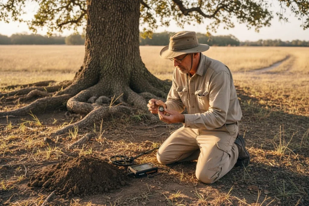
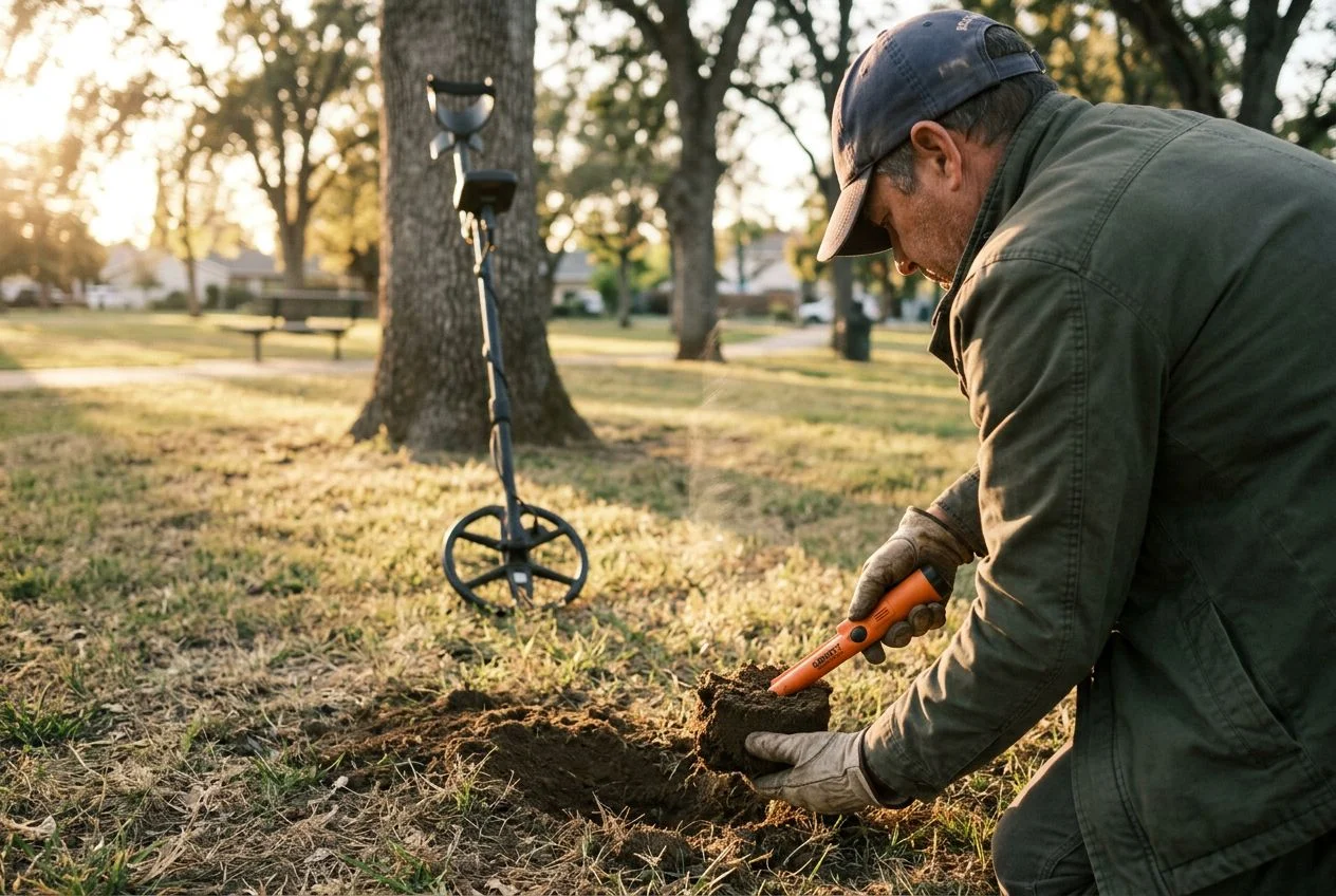
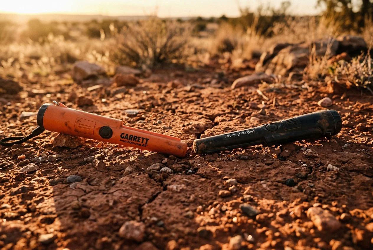
Once you’re on-site, work a grid search along where the track bed should be. Listen for the distinctive iron signal of spikes, joint plates, or bolts. I keep a small probe in my pack specifically for this. Push it into the soil and feel for the crunch of buried ballast rock, which often survives even after tracks were pulled. Transit Maps’ research guide notes that sidings were often shallowly built, so targets may sit just 3–6 inches down. For interpreting those signals, I rely heavily on Unlock Your Detector’s Secret Language: A Guide to Metal Detector Target Identification. If you’re working heavily mineralized rail ballast, check out Pulse Induction Metal Detecting Guide: PI vs VLF for deep-target strategies.
Fair warning: overgrown rights-of-way bite back. I’ve crawled through poison oak, blackberry thickets, and ticks the size of sesame seeds. And always—always—confirm the landowner before swinging. A 1915 rail map doesn’t grant you permission in 2025. I’ve knocked on doors with a copy of the plat book showing the old easement, and most owners are fascinated when you explain why their blackberry patch is historically significant.
What I dug at a ghost siding and what I learned
Answer capsule: Combining plat books, old rail maps, and deeds led me to a forgotten fruit-packing siding near Sacramento. The field evidence matched the paper trail exactly: linear depression, buried ballast, and iron signals. The finds weren’t spectacular, but the confirmation proved the method works.
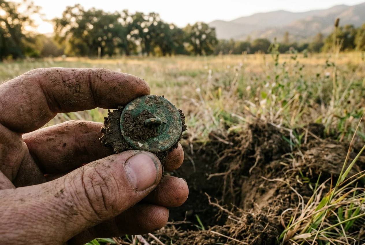
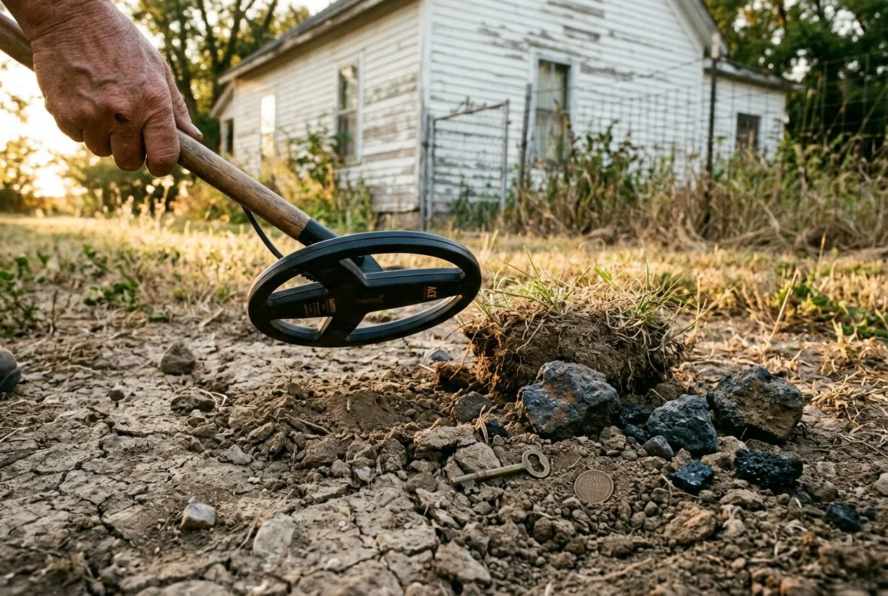
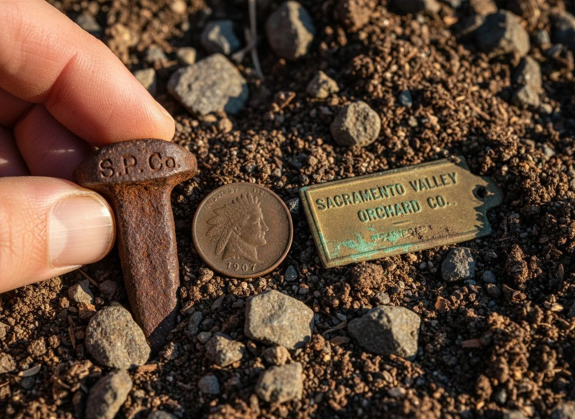
The three-step research process pointed me to a 100-yard strip of land behind a modern almond orchard. On the ground, the clues were textbook: a linear depression where the track bed had settled, scattered ballast rock crunching under my probe, and my Minelab screaming at every iron signal along that line. I dug a rusted railroad spike that read “S.P. Co.”—the same company from the 1912 lease. Then came a 1907 Indian Head penny, shallow, probably dropped by a worker.
I left that siding with a rusted railroad spike, a 1907 Indian Head penny, and a brass tag from a fruit crate stamped “SACRAMENTO VALLEY ORCHARD CO.” The tag was the real prize. It connected the railroad to the orchard shown on the plat book. I framed it next to the overlay map I’d made. My wife rolled her eyes, but she also took a picture for her Instagram. Learn How to Clean Old Coins Found Metal Detecting for that Indian Head; the spike’s ghost signal was classic halo effect from years in clay soil.
Researching a siding isn’t about the finds. It’s about the conversation between a map, a deed, and a piece of ground that hasn’t spoken in a hundred years. Next time you’re stuck finding sites, try this method. Start with a plat book for your county. You might be surprised what ghost sidings are waiting.
Frequently asked questions about finding ghost sidings
Answer capsule: Plat books, old rail maps, and deeds are the trifecta for finding forgotten sidings. Here are the questions I get most often, answered with the hard-won lessons from my own research.
Q: How is a siding different from a main line? Why does it matter for detecting?
A siding is a short track off the main line used for loading or storage. They’re often omitted from regional rail maps, so you can’t just search “abandoned railroad near me.” That’s why plat books are essential—they show those narrow strips of land labeled “R.R.” or faint dashed lines that nobody else bothers to check.
Q: Do I need both plat books and old rail maps?
Yes. Plat books tell you who owned the land and where the easement was. Old rail maps (especially ICC Valuation Maps) tell you which railroad, the track configuration, and even the purpose of the siding. I use them together like two puzzle pieces. If you’re new to map research, start with Using Sanborn Maps for Metal Detecting: Unearth Hidden History—similar principles, different map type.
Q: Where do I find historical plat books for my county?
Start at your county recorder of deeds or historical society. Many have digitized collections, but physical books often have handwritten notes you won’t see online. I’ve found sidings by just flipping through 1890s plat books at the Sacramento County Archives. The librarians are usually happy to help if you tell them what you’re looking for.
Q: How do I know if a siding is worth detecting?
Look for sidings that served specific industries: fruit packing sheds, grain elevators, lumber yards, or oil depots. Those sites saw constant foot traffic and dropped items. The ICC Valuation Maps often include “purpose of siding” in the notes. I dug a 1907 Indian Head penny at a fruit orchard siding near Auburn. That coin didn’t come from a remote main line—it came from a worker’s pocket.
Q: What’s the biggest mistake beginners make?
Thinking a siding is “abandoned” just because trains don’t run there. Many rights-of-way are still owned by the railroad, even if the tracks are gone. You need permission. Research the current owner on the county property appraiser site and knock on doors. I’ve been turned away more than once, but that’s better than digging on active rail property.
Start your research today—grab a plat book from your county library or visit the National Archives online. And if you find a ghost siding of your own, I’d love to hear about it. Drop a comment below.

My name is Paul and I am the founder of Detector For Metal, a dedicated resource for metal detecting enthusiasts seeking to uncover historical treasures and connect with the past using the latest technology. As a stay-at-home dad and family man, I’ve found metal detecting to be the perfect hobby that combines family adventure with historical learnings for the whole family.
As a father, I’m deeply committed to passing on this hobby to the next generation of detectorists, starting with my own children. I share advice on everything from metal detecting with kids to exploring the top 10 metal detecting sites you never thought about. My methodical approach to the hobby goes beyond the thrill of discovery—it’s about creating family traditions while preserving history and sharing the stories of those who came before us.